|
search place name
|
||
Die Burg (Sachsen-Anhalt, Germany)Die Burg is a town in the Sachsen-Anhalt region of Germany. An overview map of the region around Die Burg is displayed below.
regional and 3d topo map of Die Burg, Germany ::

Die Burg airports ::
The nearest airport is SZW - Schwerin Parchim, located 54.5 km north of Die Burg.
Other airports nearby include BWE - Braunschweig Wolfsburg (99.6 km south west), LBC - Luebeck Lubeck Blankensee (111.8 km north west), ZCN - Celle (113.7 km west), RLG - Laage (116.8 km north), Nearby towns ::
Haverland (1.9km south) //
Deutsch (2.2km north west) //
Groß Garz (2.2km south east) //
Kahlenberge (3.9km north) //
Aulosen (3.9km north) //
Vorpollitz (2.9km north east) //
Pollitz (2.9km north east) //
Harpe (4.3km south west) //
Jeggel (4.3km south east) //
Klein Wanzer (5.6km north) //
Scharpenhufe (3.3km east) //
Gollensdorf (3.8km north west) //
Wanzer (5.7km north) //
Drösede (5.0km north west) //
Nattewisch (4.5km east) //
Lindenberg (6.5km south east) //
Bömenzien (5.8km north west) //
Stresow (7.7km north) //
Wahrenberg (5.8km north east) //
Gerischsee (5.8km south east) //
Leppin (7.7km south) //
Zehren (7.7km south) //
Gummern (8.1km north west) //
Müggendorf (8.1km north east) //
Kapern (8.7km north west) //
Genzien (8.7km south west) //
Riethberg (8.7km south east) //
Losse (8.7km south east) //
[all distances 'as the bird flies' and approximate] 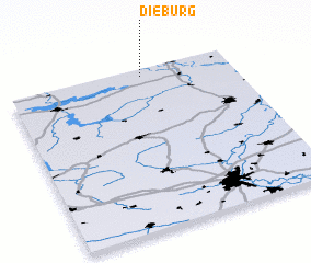 Places with similar names to Die Burg, Germany ::
Disclaimer :: Information on this page comes without warranty of any kind |
||
|
Where is Die Burg? Elevation and coordinates ::
Latitude (lat): 52°57'0"N Longitude (lon): 11°36'0"E
Elevation (approx.): 16m (map arrows pan, magnifying glasses zoom) |
||
|
Visiting Die Burg? Hotel/Accommodation ::
Book a hotel in Die Burg Travel Guide ::
Buy a travel guide for Germany rental cars ::
car rental offers GPS waypoint ::
download a GPX waypoint (PoI) of Die Burg for your GPS receiver
|
||