|
search place name
|
||
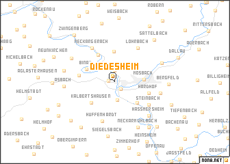
Diedesheim (Baden-Württemberg, Germany)Diedesheim is a town in the Baden-Württemberg region of Germany. An overview map of the region around Diedesheim is displayed below.
regional and 3d topo map of Diedesheim, Germany ::
Diedesheim airports ::
The nearest airport is MHG - Mannheim City, located 44.6 km west of Diedesheim.
Other airports nearby include ZQC - Speyer (47.5 km west), GHF - Giebelstadt Aaf (71.0 km north east), STR - Stuttgart (74.0 km south), FRA - Frankfurt Main (85.3 km north west), Nearby towns ::
Obrigheim (0.7km west) //
Neckarelz (1.3km south east) //
Schreckhof (1.9km north) //
Hochhausen (2.9km south) //
Nüstenbach (3.1km north east) //
Mosbach (3.1km east) //
Reichenbuch (4.9km north) //
Neckarzimmern (4.2km south east) //
Binau (3.7km north west) //
Kälbertshausen (4.3km south west) //
Guttenbach (4.8km north) //
Hardhof (4.1km south east) //
Mörtelstein (3.9km west) //
Neckargerach (6.1km north west) //
Lohrbach (6.1km north east) //
Steinbach (5.2km south east) //
Hüffenhardt (6.6km south) //
Stockbrunn (5.2km east) //
Haßmersheim (6.6km south east) //
Michaelsberg (6.6km south east) //
Neckarkatzenbach (6.0km north west) //
Neckarmühlbach (7.8km south) //
Neckarhaus (7.8km south) //
Neckarburken (5.9km north east) //
Asbach (5.5km west) //
Breitenbronn (5.7km west) //
Bergfeld (5.7km east) //
Wagenbach (8.3km south west) //
Böttingen (8.3km south east) //
[all distances 'as the bird flies' and approximate] 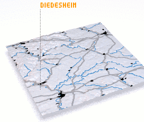 Places with similar names to Diedesheim, Germany ::
Disclaimer :: Information on this page comes without warranty of any kind |
||
|
Where is Diedesheim? Elevation and coordinates ::
Latitude (lat): 49°21'0"N Longitude (lon): 9°6'0"E
Elevation (approx.): 135m (map arrows pan, magnifying glasses zoom) |
||
|
Visiting Diedesheim? Hotel/Accommodation ::
Book a hotel in Diedesheim Travel Guide ::
Buy a travel guide for Germany rental cars ::
car rental offers GPS waypoint ::
download a GPX waypoint (PoI) of Diedesheim for your GPS receiver
|
||