|
search place name
|
||
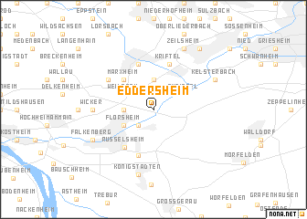
Eddersheim (Hessen, Germany)Eddersheim is a town in the Hessen region of Germany. An overview map of the region around Eddersheim is displayed below.
regional and 3d topo map of Eddersheim, Germany ::
nearby GPS traces from timatio ::
Eddersheim airports ::
The nearest airport is FRA - Frankfurt Main, located 5.5 km east of Eddersheim.
Other airports nearby include ZNF - Hanau Aaf (38.5 km north east), MHG - Mannheim City (62.4 km south), ZNV - Koblenz Winningen (74.5 km north west), ZQC - Speyer (81.3 km south), Nearby towns ::
Raunheim (2.2km south west) //
Hattersheim (3.7km north) //
Bad Weilbach (2.4km west) //
Okriftel (3.0km north east) //
Flörsheim (3.0km south west) //
Weilbach (3.0km north west) //
Marxheim (4.4km north west) //
Rüsselsheim (5.1km south west) //
Kriftel (5.7km north) //
Hofheim am Taunus (5.7km north) //
Haßloch (5.7km south) //
Diedenbergen (5.1km north west) //
Wicker (4.8km west) //
Königstädten (7.9km south) //
Kelsterbach (6.0km north east) //
Zeilsheim (7.8km north) //
Falkenberg (6.0km south west) //
Unterliederbach (8.2km north east) //
[all distances 'as the bird flies' and approximate] 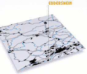 Places with similar names to Eddersheim, Germany ::
// Etersheim (NL)
Disclaimer :: Information on this page comes without warranty of any kind |
||
|
Where is Eddersheim? Elevation and coordinates ::
Latitude (lat): 50°2'0"N Longitude (lon): 8°28'0"E
Elevation (approx.): 89m (map arrows pan, magnifying glasses zoom) |
||
|
Visiting Eddersheim? Hotel/Accommodation ::
Book a hotel in Eddersheim Travel Guide ::
Buy a travel guide for Germany rental cars ::
car rental offers GPS waypoint ::
download a GPX waypoint (PoI) of Eddersheim for your GPS receiver
|
||