|
search place name
|
||
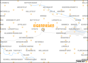
Eigenrieden (Thüringen, Germany)Eigenrieden is a town in the Thüringen region of Germany. An overview map of the region around Eigenrieden is displayed below.
regional and 3d topo map of Eigenrieden, Germany ::
Eigenrieden airports ::
The nearest airport is ERF - Erfurt, located 51.1 km south east of Eigenrieden.
Other airports nearby include KSF - Kassel Calden (70.0 km west), BWE - Braunschweig Wolfsburg (123.6 km north), PAD - Paderborn Lippstadt (127.4 km west), LEJ - Leipzig Halle (135.2 km east), Nearby towns ::
Struth (2.3km west) //
Bickenriede (3.9km north) //
Dörna (3.0km north east) //
Büttstedt (4.4km north west) //
Anrode (5.6km north) //
Heyerode (5.7km south) //
Hollenbach (3.9km north east) //
Lengefeld (5.1km north east) //
Diedorf (5.1km south west) //
Kloster Zella (4.6km west) //
Pfafferode (4.6km east) //
Faulungen (5.0km west) //
Popperode (5.0km east) //
Katharinenberg (5.9km south west) //
Zella (7.8km north) //
Küllstedt (8.2km north west) //
Breitenbich (8.2km north east) //
Gute Hoffnung (8.2km south west) //
Schierschwende (8.7km south west) //
Horsmar (8.7km north east) //
[all distances 'as the bird flies' and approximate] 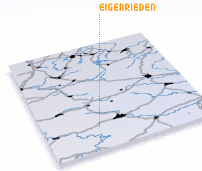 Places with similar names to Eigenrieden, Germany :: Disclaimer :: Information on this page comes without warranty of any kind |
||
|
Where is Eigenrieden? Elevation and coordinates ::
Latitude (lat): 51°13'0"N Longitude (lon): 10°20'0"E
Elevation (approx.): 425m (map arrows pan, magnifying glasses zoom) |
||
|
Visiting Eigenrieden? Hotel/Accommodation ::
Book a hotel in Eigenrieden Travel Guide ::
Buy a travel guide for Germany rental cars ::
car rental offers GPS waypoint ::
download a GPX waypoint (PoI) of Eigenrieden for your GPS receiver
|
||