|
search place name
|
||
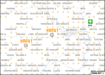
Hardt (Bayern, Germany)Hardt is a town in the Bayern region of Germany. An overview map of the region around Hardt is displayed below.
regional and 3d topo map of Hardt, Germany ::
Hardt airports ::
The nearest airport is BYU - Bayreuth, located 10.4 km north east of Hardt.
Other airports nearby include HOQ - Hof Plauen (46.4 km north east), NUE - Nuernberg Nurnberg (58.2 km south west), KLV - Karlovy Vary (104.5 km east), GHF - Giebelstadt Aaf (116.0 km west), Nearby towns ::
Geigenreuth (1.2km east) //
Meyernberg (1.2km east) //
Mistelbach (1.9km south) //
Teufelsgraben (1.2km west) //
Forst (1.2km west) //
Donndorf (1.2km west) //
Sankt Gilgenberg (1.2km west) //
Lohe (1.2km west) //
Oberpreuschwitz (1.9km north) //
Sonnenleithen (2.2km south east) //
Oberobsang (2.2km north east) //
Unterpreuschwitz (2.2km north east) //
Wiesen (2.2km north east) //
Dörnhof (2.2km north west) //
Altstadt (2.4km east) //
Denzenlohe (3.7km north) //
Vollhof (3.7km north) //
Weickenreuth (3.7km north) //
Eckersdorf (2.4km west) //
Gesees (3.9km south) //
Pittersdorf (3.9km south) //
Heinersreuth (3.9km north) //
Martinsreuth (3.9km north) //
Tannenbach (3.9km north) //
Hahnenhof (3.9km north) //
Forkendorf (4.4km south east) //
Cottenbach (4.4km north east) //
Altenplos (5.6km north) //
Unterwaiz (5.6km north) //
[all distances 'as the bird flies' and approximate] 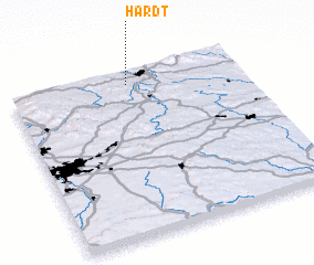 Places with similar names to Hardt, Germany ::
Disclaimer :: Information on this page comes without warranty of any kind |
||
|
Where is Hardt? Elevation and coordinates ::
Latitude (lat): 49°56'0"N Longitude (lon): 11°31'0"E
Elevation (approx.): 409m (map arrows pan, magnifying glasses zoom) |
||
|
Visiting Hardt? Hotel/Accommodation ::
Book a hotel in Hardt Travel Guide ::
Buy a travel guide for Germany rental cars ::
car rental offers GPS waypoint ::
download a GPX waypoint (PoI) of Hardt for your GPS receiver
|
||