|
search place name
|
||
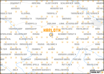
Harloth (Bayern, Germany)Harloth is a town in the Bayern region of Germany. An overview map of the region around Harloth is displayed below.
regional and 3d topo map of Harloth, Germany ::
Harloth airports ::
The nearest airport is BYU - Bayreuth, located 18.5 km north east of Harloth.
Other airports nearby include NUE - Nuernberg Nurnberg (51.3 km south west), HOQ - Hof Plauen (53.4 km north east), GHF - Giebelstadt Aaf (108.1 km west), KLV - Karlovy Vary (112.5 km east), Nearby towns ::
Ochsenholz (0.0km north) //
Hardt (1.2km east) //
Frankenhaag (1.2km east) //
Plösen (1.2km east) //
Streit (1.2km west) //
Gollenbach (1.9km south) //
Geislareuth (1.9km north) //
Wohnsgehaig (2.2km south west) //
Schöchleins (2.2km south west) //
Hundshof (3.7km south) //
Körzendorf (3.7km south) //
Volsbach (3.7km south) //
Lochau (3.7km north) //
Melkendorf (3.7km north) //
Vorlahm (3.7km north) //
Ausserleithen (2.4km west) //
Engelmess (3.9km north) //
Glashütten (3.0km south east) //
Tennig (3.0km north east) //
Obernsees (3.0km north west) //
Lahm (4.4km north east) //
Eschen (4.4km north east) //
Windhof (4.4km north east) //
Schanz (4.4km north east) //
Seitenbach (4.4km north east) //
Neusig (4.4km south west) //
Braunersberg (4.4km north west) //
Weiher (5.6km south) //
Hundshof (3.6km east) //
[all distances 'as the bird flies' and approximate] 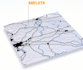 Places with similar names to Harloth, Germany :: Disclaimer :: Information on this page comes without warranty of any kind |
||
|
Where is Harloth? Elevation and coordinates ::
Latitude (lat): 49°54'0"N Longitude (lon): 11°25'0"E
Elevation (approx.): 426m (map arrows pan, magnifying glasses zoom) |
||
|
Visiting Harloth? Hotel/Accommodation ::
Book a hotel in Harloth Travel Guide ::
Buy a travel guide for Germany rental cars ::
car rental offers GPS waypoint ::
download a GPX waypoint (PoI) of Harloth for your GPS receiver
|
||