|
search place name
|
||
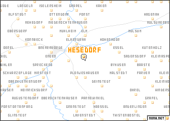
Hesedorf (Niedersachsen, Germany)Hesedorf is a town in the Niedersachsen region of Germany. An overview map of the region around Hesedorf is displayed below.
regional and 3d topo map of Hesedorf, Germany ::
Hesedorf airports ::
The nearest airport is BRV - Bremerhaven, located 41.9 km west of Hesedorf.
Other airports nearby include XFW - Hamburg Finkenwerder (43.0 km east), BRE - Bremen (54.2 km south west), HAM - Hamburg (55.3 km east), WVN - Wilhelmshaven Mariensiel (76.2 km west), Nearby towns ::
Hornerholz (1.9km north) //
Bevernerweide (2.2km west) //
Plönjeshausen (3.7km south) //
Elmerdamm (3.9km north) //
Bevern (3.9km south) //
Elm (5.6km north) //
Deinstedt (6.0km south) //
Hohenmoor (5.0km north east) //
Elmer Hohenmoor (5.0km north east) //
Mühlheim (6.0km north) //
Behrste (7.4km north) //
Engeo (4.4km west) //
Bremervörde (4.8km north west) //
Essel (4.8km north east) //
Byhusen (4.8km south east) //
Nieder Ochtenhausen (7.7km north) //
Malstedt (5.8km south east) //
Sandbostel (7.1km south west) //
Bei der Höhne (7.1km north west) //
Hönau-Lindorf (8.6km north west) //
[all distances 'as the bird flies' and approximate] 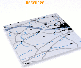 Places with similar names to Hesedorf, Germany ::
Disclaimer :: Information on this page comes without warranty of any kind |
||
|
Where is Hesedorf? Elevation and coordinates ::
Latitude (lat): 53°28'0"N Longitude (lon): 9°12'0"E
Elevation (approx.): 19m (map arrows pan, magnifying glasses zoom) |
||
|
Visiting Hesedorf? Hotel/Accommodation ::
Book a hotel in Hesedorf Travel Guide ::
Buy a travel guide for Germany rental cars ::
car rental offers GPS waypoint ::
download a GPX waypoint (PoI) of Hesedorf for your GPS receiver
|
||