|
search place name
|
||
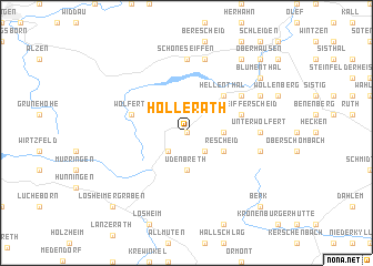
Hollerath (Nordrhein-Westfalen, Germany)Hollerath is a town in the Nordrhein-Westfalen region of Germany. An overview map of the region around Hollerath is displayed below.
regional and 3d topo map of Hollerath, Germany ::
Hollerath airports ::
The nearest airport is SPM - Spangdahlem Ab, located 57.1 km south of Hollerath.
Other airports nearby include GKE - Geilenkirchen (62.2 km north west), MST - Maastricht (68.0 km north west), CGN - Cologne Koln Bonn (70.0 km north east), ZQF - Trier Fohren (70.9 km south east), Nearby towns ::
Ramscheid (0.0km north) //
Miescheid (2.2km south west) //
Kamberg (2.2km south east) //
Giescheid (2.4km east) //
Udenbreth (3.7km south) //
Rescheid (3.0km south east) //
Hellenthal (4.4km north east) //
Hönningen (4.0km north east) //
Oberreifferscheid (4.0km north east) //
Wolfert (4.0km north west) //
Kirschseiffen (5.1km north east) //
Schöneseiffen (7.4km north) //
Unterwolfert (4.7km east) //
Harperscheid (7.5km north) //
Oberwolfert (5.1km east) //
Reifferscheid (6.0km north east) //
Blumenthal (7.3km north east) //
Bronsfeld (8.2km north east) //
Oberhausen (8.8km north east) //
Berk (8.8km south east) //
Losheimergraben (8.8km south west) //
[all distances 'as the bird flies' and approximate] 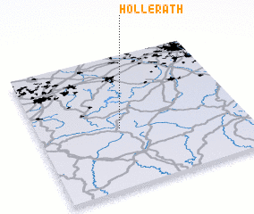 Places with similar names to Hollerath, Germany ::
// Hehlrath (DE)
Disclaimer :: Information on this page comes without warranty of any kind |
||
|
Where is Hollerath? Elevation and coordinates ::
Latitude (lat): 50°27'0"N Longitude (lon): 6°24'0"E
Elevation (approx.): 583m (map arrows pan, magnifying glasses zoom) |
||
|
Visiting Hollerath? Hotel/Accommodation ::
Book a hotel in Hollerath Travel Guide ::
Buy a travel guide for Germany rental cars ::
car rental offers GPS waypoint ::
download a GPX waypoint (PoI) of Hollerath for your GPS receiver
|
||