|
search place name
|
||
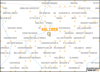
Holzara (Bayern, Germany)Holzara is a town in the Bayern region of Germany. An overview map of the region around Holzara is displayed below.
regional and 3d topo map of Holzara, Germany ::
Holzara airports ::
The nearest airport is AGB - Augsburg, located 28.2 km north east of Holzara.
Other airports nearby include FEL - Fuerstenfeldbruck Furstenfeldbruck (50.6 km east), OBF - Oberpfaffenhofen (56.3 km south east), MUC - Munich Munchen (88.2 km east), FDH - Friedrichshafen (107.2 km south west), Nearby towns ::
Breitenbronn (0.0km north) //
Wollmetshofen (2.2km south east) //
Schönebach (2.2km north west) //
Reischenau (2.2km north west) //
Kühbach (2.2km north east) //
Ried (2.2km north east) //
Langenneufnach (3.7km south) //
Stadel (3.7km north) //
Siefenwang (3.7km north) //
Unterrothan (3.9km south) //
Hinterschellenbach (3.1km south west) //
Elmischwang (3.1km south east) //
Osterkühbach (3.1km north east) //
Oberschöneberg (3.9km north) //
Saulach (4.5km north west) //
Uttenhofen (3.7km west) //
Aretsried (3.7km east) //
Vorderschellenbach (4.1km south west) //
Habertsweiler (5.7km south) //
Gumpenweiler (5.7km south) //
Willmatshofen (4.1km south east) //
Ustersbach (4.1km north east) //
Baschenegg (4.1km north east) //
Mödishofen (4.1km north east) //
Dinkelscherben (5.7km north) //
Seifriedsberg (5.2km south west) //
Mickhausen (6.1km south east) //
Tronetshofen (5.2km south east) //
Anried (6.1km north west) //
[all distances 'as the bird flies' and approximate] 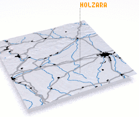
Disclaimer :: Information on this page comes without warranty of any kind |
||
|
Where is Holzara? Elevation and coordinates ::
Latitude (lat): 48°18'0"N Longitude (lon): 10°36'0"E
Elevation (approx.): 514m (map arrows pan, magnifying glasses zoom) |
||
|
Visiting Holzara? Hotel/Accommodation ::
Book a hotel in Holzara Travel Guide ::
Buy a travel guide for Germany rental cars ::
car rental offers GPS waypoint ::
download a GPX waypoint (PoI) of Holzara for your GPS receiver
|
||