|
search place name
|
||
Horlachen (Baden-Württemberg, Germany)Horlachen is a town in the Baden-Württemberg region of Germany. An overview map of the region around Horlachen is displayed below.
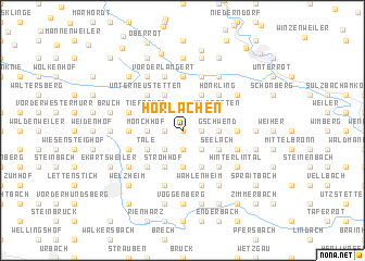
regional and 3d topo map of Horlachen, Germany ::
Horlachen airports ::
The nearest airport is STR - Stuttgart, located 44.3 km south west of Horlachen.
Other airports nearby include GHF - Giebelstadt Aaf (81.8 km north), ZQC - Speyer (100.0 km north west), MHG - Mannheim City (105.2 km north west), AGB - Augsburg (106.9 km south east), Nearby towns ::
Altersberg (0.0km north) //
Brandhof (0.0km north) //
Dinglesmad (0.0km north) //
Menzles (1.9km south) //
Hundsberg (1.9km south) //
Brandhöfle (1.2km west) //
Haghof (1.2km east) //
Wasserhof (1.2km east) //
Hagkling (1.2km east) //
Hugenbeckenreute (1.2km east) //
Eichenkirnberg (1.9km north) //
Hinteres Breitenfeld (1.9km north) //
Vorderes Breitenfeld (1.9km north) //
Cronhütte (2.2km south west) //
Ebersberg (2.2km south west) //
Stixenhof (2.2km south east) //
Kirchenkirnberg (2.2km north west) //
Gärtnershof (2.2km north west) //
Pritschenhof (2.2km north east) //
Mönchhof (2.4km west) //
Gschwend (2.4km east) //
Hüttenbühl (3.7km south) //
Schillinghof (3.7km south) //
Hellershof (3.7km south) //
Bruckhof (3.7km south) //
Steinhaus (3.7km south) //
Täle (3.1km south west) //
Gebenweiler Gehren (3.1km south west) //
Seelach (3.1km south east) //
[all distances 'as the bird flies' and approximate] 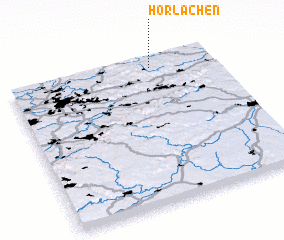
Disclaimer :: Information on this page comes without warranty of any kind |
||
|
Where is Horlachen? Elevation and coordinates ::
Latitude (lat): 48°56'0"N Longitude (lon): 9°42'0"E
Elevation (approx.): 514m (map arrows pan, magnifying glasses zoom) |
||
|
Visiting Horlachen? Hotel/Accommodation ::
Book a hotel in Horlachen Travel Guide ::
Buy a travel guide for Germany rental cars ::
car rental offers GPS waypoint ::
download a GPX waypoint (PoI) of Horlachen for your GPS receiver
|
||