|
search place name
|
||
Inzmühlen (Niedersachsen, Germany)Inzmühlen is a town in the Niedersachsen region of Germany. An overview map of the region around Inzmühlen is displayed below.
regional and 3d topo map of Inzmühlen, Germany ::

Inzmühlen airports ::
The nearest airport is XFW - Hamburg Finkenwerder, located 33.7 km north of Inzmühlen.
Other airports nearby include HAM - Hamburg (44.9 km north), ZCN - Celle (72.2 km south), BRE - Bremen (75.2 km west), LBC - Luebeck Lubeck Blankensee (85.2 km north east), Nearby towns ::
Wehlen (2.2km south east) //
Wörme (3.7km north) //
Holm (3.7km north) //
Handeloh (2.9km north west) //
Wintermoor an der Chaussee (4.3km south west) //
Thelstorf (4.3km north east) //
Wesel (3.3km east) //
Holm Seppensen (5.6km north) //
Ehrhorn (5.7km south) //
Lüllau (6.0km north) //
Schierhorn (5.0km north east) //
Seppensen (7.4km north) //
Welle (4.4km west) //
Höckel (4.8km north west) //
Einem (7.7km south) //
Wintermoor (8.1km south west) //
Reinsehlen (8.1km south west) //
Wiedenhof (7.1km north east) //
Osterberg (8.1km north east) //
[all distances 'as the bird flies' and approximate] 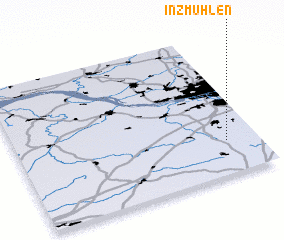 Places with similar names to Inzmühlen, Germany :: Disclaimer :: Information on this page comes without warranty of any kind |
||
|
Where is Inzmühlen? Elevation and coordinates ::
Latitude (lat): 53°14'0"N Longitude (lon): 9°52'0"E
Elevation (approx.): 53m (map arrows pan, magnifying glasses zoom) |
||
|
Visiting Inzmühlen? Hotel/Accommodation ::
Book a hotel in Inzmühlen Travel Guide ::
Buy a travel guide for Germany rental cars ::
car rental offers GPS waypoint ::
download a GPX waypoint (PoI) of Inzmühlen for your GPS receiver
|
||