|
search place name
|
||
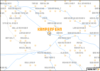
Kamperfehn (Niedersachsen, Germany)Kamperfehn is a town in the Niedersachsen region of Germany. An overview map of the region around Kamperfehn is displayed below.
regional and 3d topo map of Kamperfehn, Germany ::
Kamperfehn airports ::
The nearest airport is WVN - Wilhelmshaven Mariensiel, located 49.9 km north of Kamperfehn.
Other airports nearby include EME - Emden (51.3 km north west), BRE - Bremen (66.3 km east), BRV - Bremerhaven (69.9 km north east), NRD - Norderney (79.1 km north west), Nearby towns ::
Kampe (2.2km east) //
Schwaneburgermoor (3.7km south) //
Reekenfeld (2.9km north west) //
Harkebrügge (3.9km north) //
Schwaneburg (4.3km south east) //
Ikenbrügge (3.8km south east) //
Lohe (5.7km north) //
Mehrenkamp (5.0km south east) //
Sedelsberg (5.0km south west) //
Neuscharrel (7.5km south) //
Neuland (7.7km north) //
Klauen (8.1km south east) //
Friesoythe (8.1km south east) //
Wittenberge (7.1km north east) //
Eggershausen (7.1km south east) //
[all distances 'as the bird flies' and approximate] 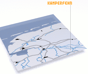 Places with similar names to Kamperfehn, Germany ::
Disclaimer :: Information on this page comes without warranty of any kind |
||
|
Where is Kamperfehn? Elevation and coordinates ::
Latitude (lat): 53°5'0"N Longitude (lon): 7°48'0"E
Elevation (approx.): 6m (map arrows pan, magnifying glasses zoom) |
||
|
Visiting Kamperfehn? Hotel/Accommodation ::
Book a hotel in Kamperfehn Travel Guide ::
Buy a travel guide for Germany rental cars ::
car rental offers GPS waypoint ::
download a GPX waypoint (PoI) of Kamperfehn for your GPS receiver
|
||