|
search place name
|
||
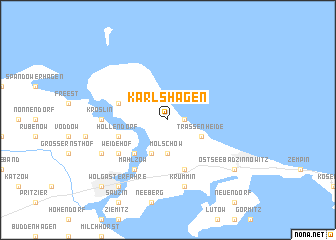
Karlshagen (Mecklenburg-Vorpommern, Germany)Karlshagen is a town in the Mecklenburg-Vorpommern region of Germany. An overview map of the region around Karlshagen is displayed below.
regional and 3d topo map of Karlshagen, Germany ::
Karlshagen airports ::
The nearest airport is SZZ - Szczechin Goleniow, located 91.9 km south east of Karlshagen.
Other airports nearby include RLG - Laage (104.3 km west), RNN - Bornholm Ronne (121.2 km north east), MMX - Malmoe Sturup (160.1 km north), TXL - Berlin Tegel (177.0 km south), Nearby towns ::
Seebad Karlshagen (1.1km east) //
Mölschow (3.7km south) //
Zecherin (3.9km south) //
Trassenheide (2.9km south east) //
Sandhof (4.3km south west) //
Peenemünde (3.7km north west) //
Hollendorf (3.7km south west) //
Bannemin (5.7km south) //
Mahlzow (6.0km south) //
Weidehof (4.9km south west) //
Kröslin (4.3km west) //
Krummin (7.5km south) //
Karrin-Mittelhof (5.7km south west) //
Ostseebad Zinnowitz (7.1km south east) //
Wolgasterfähre (8.1km south west) //
Wolgast (8.6km south west) //
[all distances 'as the bird flies' and approximate] 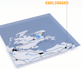 Places with similar names to Karlshagen, Germany :: Disclaimer :: Information on this page comes without warranty of any kind |
||
|
Where is Karlshagen? Elevation and coordinates ::
Latitude (lat): 54°7'0"N Longitude (lon): 13°50'0"E
Elevation (approx.): 13m (map arrows pan, magnifying glasses zoom) |
||
|
Visiting Karlshagen? Hotel/Accommodation ::
Book a hotel in Karlshagen Travel Guide ::
Buy a travel guide for Germany rental cars ::
car rental offers GPS waypoint ::
download a GPX waypoint (PoI) of Karlshagen for your GPS receiver
|
||