|
search place name
|
||
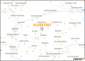
Kleestadt (Hessen, Germany)Kleestadt is a town in the Hessen region of Germany. An overview map of the region around Kleestadt is displayed below.
regional and 3d topo map of Kleestadt, Germany ::
Kleestadt airports ::
The nearest airport is ZNF - Hanau Aaf, located 29.8 km north of Kleestadt.
Other airports nearby include FRA - Frankfurt Main (32.4 km north west), MHG - Mannheim City (57.2 km south west), ZQC - Speyer (75.8 km south west), GHF - Giebelstadt Aaf (78.3 km east), Nearby towns ::
Klein-Umstadt (1.3km south west) //
Langstadt (2.5km north) //
Schlierbach (1.9km north east) //
Raibach (3.2km south) //
Richen (2.5km south west) //
Groß-Umstadt (4.0km south) //
Harpertshausen (3.7km north west) //
Sickenhofen (5.5km north) //
Hergershausen (5.2km north west) //
Heubach (6.7km south) //
Altheim (4.6km north west) //
Schaafheim (4.8km north east) //
Radheim (4.8km east) //
Babenhausen (7.2km north) //
Dorndiel (5.9km south east) //
Semd (5.7km south west) //
Harreshausen (8.0km north) //
Zipfen (8.2km south) //
Mosbach (5.7km east) //
Wiebelsbach (8.7km south) //
Lengfeld (8.3km south west) //
Habitzheim (7.7km south west) //
Wald-Amorbach (7.9km south east) //
[all distances 'as the bird flies' and approximate] 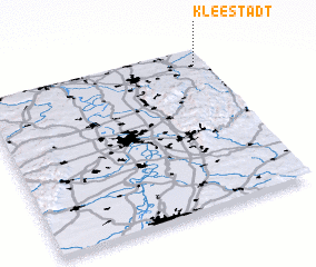 Places with similar names to Kleestadt, Germany ::
Disclaimer :: Information on this page comes without warranty of any kind |
||
|
Where is Kleestadt? Elevation and coordinates ::
Latitude (lat): 49°54'6"N Longitude (lon): 8°57'6"E
Elevation (approx.): 176m (map arrows pan, magnifying glasses zoom) |
||
|
Visiting Kleestadt? Hotel/Accommodation ::
Book a hotel in Kleestadt Travel Guide ::
Buy a travel guide for Germany rental cars ::
car rental offers GPS waypoint ::
download a GPX waypoint (PoI) of Kleestadt for your GPS receiver
|
||