|
search place name
|
||
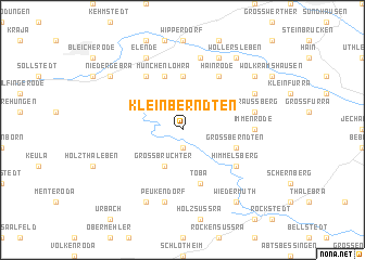
Kleinberndten (Thüringen, Germany)Kleinberndten is a town in the Thüringen region of Germany. An overview map of the region around Kleinberndten is displayed below.
regional and 3d topo map of Kleinberndten, Germany ::
Kleinberndten airports ::
The nearest airport is ERF - Erfurt, located 47.6 km south east of Kleinberndten.
Other airports nearby include KSF - Kassel Calden (89.9 km west), BWE - Braunschweig Wolfsburg (106.3 km north), LEJ - Leipzig Halle (109.8 km east), AOC - Altenburg Nobitz (135.6 km east), Nearby towns ::
Dietenborn (1.9km south) //
Großbrüchter (3.9km south) //
Kleinwenden (5.6km north) //
Toba (5.7km south) //
Großwenden (5.7km north) //
Münchenlohra (5.7km north) //
Großberndten (3.9km south east) //
Hainrode (6.0km north east) //
Friedrichslohra (6.0km north west) //
Himmelsberg (5.1km south east) //
Immenrode (4.6km east) //
Kinderode (7.5km north) //
Straußberg (5.0km east) //
Peukendorf (7.5km south) //
Nohra (7.8km north) //
Wernrode (5.9km north east) //
Elende (7.8km north) //
Kleinbrüchter (7.8km south) //
Wollersleben (8.2km north east) //
Rüxleben (7.2km north east) //
Niedergebra (7.2km north west) //
Wiedermuth (8.2km south east) //
[all distances 'as the bird flies' and approximate] 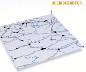 Places with similar names to Kleinberndten, Germany :: Disclaimer :: Information on this page comes without warranty of any kind |
||
|
Where is Kleinberndten? Elevation and coordinates ::
Latitude (lat): 51°22'0"N Longitude (lon): 10°40'0"E
Elevation (approx.): 339m (map arrows pan, magnifying glasses zoom) |
||
|
Visiting Kleinberndten? Hotel/Accommodation ::
Book a hotel in Kleinberndten Travel Guide ::
Buy a travel guide for Germany rental cars ::
car rental offers GPS waypoint ::
download a GPX waypoint (PoI) of Kleinberndten for your GPS receiver
|
||