|
search place name
|
||
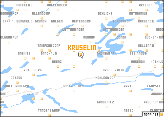
Krüselin (Brandenburg, Germany)Krüselin is a town in the Brandenburg region of Germany. An overview map of the region around Krüselin is displayed below.
regional and 3d topo map of Krüselin, Germany ::
Krüselin airports ::
The nearest airport is TXL - Berlin Tegel, located 80.9 km south of Krüselin.
Other airports nearby include THF - Berlin Tempelhof (90.2 km south), SXF - Berlin Schonefeld (100.9 km south), RLG - Laage (102.5 km north west), SZZ - Szczechin Goleniow (105.3 km east), Nearby towns ::
Mechow (2.2km south west) //
Laeven (2.2km north west) //
Carwitz (2.9km north east) //
Neuhof (3.9km north) //
Thomsdorf (3.3km east) //
Beenz (3.8km south west) //
Lüttenhagen (5.7km north) //
Weitendorf (7.4km north) //
Sandkrug (4.4km west) //
Küstrinchen (7.5km south) //
Triepkendorf (4.8km north west) //
Amtshof (6.5km north east) //
Feldberg (6.5km north east) //
Koldenhof (6.5km north west) //
Mahlendorf (6.5km south east) //
Brüsenwalde (5.8km south east) //
Wittenhagen (7.1km north east) //
Dolgen (8.1km north west) //
[all distances 'as the bird flies' and approximate] 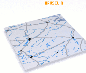 Places with similar names to Krüselin, Germany ::
// Kurzlehn (AT)
// Groß Hehlen (DE)
// Groß Leine (DE)
// Groß Lunow (DE)
// Krößuln (DE)
// Corsalone (IT)
// Crocilone (IT)
// Chruślin (PL)
// Chruślin (PL)
// Chruślina (PL)
Disclaimer :: Information on this page comes without warranty of any kind |
||
|
Where is Krüselin? Elevation and coordinates ::
Latitude (lat): 53°17'0"N Longitude (lon): 13°24'0"E
Elevation (approx.): 124m (map arrows pan, magnifying glasses zoom) |
||
|
Visiting Krüselin? Hotel/Accommodation ::
Book a hotel in Krüselin Travel Guide ::
Buy a travel guide for Germany rental cars ::
car rental offers GPS waypoint ::
download a GPX waypoint (PoI) of Krüselin for your GPS receiver
|
||