|
search place name
|
||
Lampersdorf (Sachsen, Germany)Lampersdorf is a town in the Sachsen region of Germany. An overview map of the region around Lampersdorf is displayed below.
regional and 3d topo map of Lampersdorf, Germany ::

Lampersdorf airports ::
The nearest airport is DRS - Dresden, located 20.6 km east of Lampersdorf.
Other airports nearby include AOC - Altenburg Nobitz (69.5 km west), BBJ - Bautzen (73.6 km east), LEJ - Leipzig Halle (95.0 km north west), KLV - Karlovy Vary (105.9 km south), Nearby towns ::
Lotzen (1.9km south) //
Sora (1.2km east) //
Ullendorf (1.9km north) //
Taubenheim (2.2km north west) //
Seeligstadt (2.3km west) //
Birkenhain (3.7km south) //
Riemsdorf (3.7km north) //
Schmiedewalde (3.0km south west) //
Limbach (3.9km south) //
Kobitzsch (3.9km north) //
Röhrsdorf (3.0km north east) //
Reichenbach (3.9km north) //
Polenz (4.4km north west) //
Kettewitz (4.4km north west) //
Gruben (4.4km north east) //
Naustadt (4.4km north east) //
Helbigsdorf (5.6km south) //
Bockwen (5.6km north) //
Klipphausen (3.5km east) //
Spittewitz (5.7km north) //
Sachsdorf (4.0km south east) //
Burkhardswalde (4.0km south west) //
Batzdorf (5.7km north) //
Scharfenberg (5.7km north) //
Weitzschen (4.0km north west) //
Piskowitz (4.0km north west) //
Dobritz (6.0km north west) //
Wilsdruff (5.1km south east) //
Sörnewitz (6.0km north east) //
[all distances 'as the bird flies' and approximate] 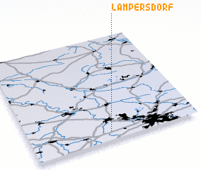 Places with similar names to Lampersdorf, Germany ::
Disclaimer :: Information on this page comes without warranty of any kind |
||
|
Where is Lampersdorf? Elevation and coordinates ::
Latitude (lat): 51°5'0"N Longitude (lon): 13°29'0"E
Elevation (approx.): 257m (map arrows pan, magnifying glasses zoom) |
||
|
Visiting Lampersdorf? Hotel/Accommodation ::
Book a hotel in Lampersdorf Travel Guide ::
Buy a travel guide for Germany rental cars ::
car rental offers GPS waypoint ::
download a GPX waypoint (PoI) of Lampersdorf for your GPS receiver
|
||