|
search place name
|
||
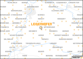
Leidenhofen (Hessen, Germany)Leidenhofen is a town in the Hessen region of Germany. An overview map of the region around Leidenhofen is displayed below.
regional and 3d topo map of Leidenhofen, Germany ::
Leidenhofen airports ::
The nearest airport is ZNF - Hanau Aaf, located 63.6 km south of Leidenhofen.
Other airports nearby include FRA - Frankfurt Main (81.0 km south), KSF - Kassel Calden (84.8 km north east), PAD - Paderborn Lippstadt (99.0 km north), ZNV - Koblenz Winningen (102.0 km south west), Nearby towns ::
Ebsdorf (0.0km north) //
Mölln (1.2km east) //
Heskem (2.2km north east) //
Beltershausen (2.2km north west) //
Winnen (3.7km south) //
Unterhausen (2.3km east) //
Mittelhausen (2.3km east) //
Moischt (3.7km north) //
Oberhausen (3.0km south east) //
Wittelsberg (3.0km north east) //
Hachborn (3.0km south west) //
Hahnerheide (3.9km north) //
Ilschhausen (4.4km south west) //
Schröck (5.6km north) //
Allendorf an der Lumda (5.7km south) //
Nordeck (5.7km south) //
Roßberg (4.0km south east) //
Dreihausen (4.0km south east) //
Bortshausen (4.0km north west) //
Cappel (5.1km north west) //
Climbach (7.4km south) //
Rauischholzhausen (5.0km east) //
Erbenhausen (5.0km west) //
Ronhausen (5.0km west) //
Treis an der Lumda (7.8km south) //
Gisselberg (6.0km north west) //
Kesselbach (8.2km south east) //
Londorf (8.2km south east) //
Kleinseelheim (8.8km north east) //
[all distances 'as the bird flies' and approximate] 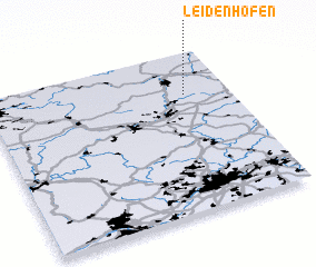 Places with similar names to Leidenhofen, Germany ::
Disclaimer :: Information on this page comes without warranty of any kind |
||
|
Where is Leidenhofen? Elevation and coordinates ::
Latitude (lat): 50°44'0"N Longitude (lon): 8°49'0"E
Elevation (approx.): 205m (map arrows pan, magnifying glasses zoom) |
||
|
Visiting Leidenhofen? Hotel/Accommodation ::
Book a hotel in Leidenhofen Travel Guide ::
Buy a travel guide for Germany rental cars ::
car rental offers GPS waypoint ::
download a GPX waypoint (PoI) of Leidenhofen for your GPS receiver
|
||