|
search place name
|
||
Leverdingen (Niedersachsen, Germany)Leverdingen is a town in the Niedersachsen region of Germany. An overview map of the region around Leverdingen is displayed below.
regional and 3d topo map of Leverdingen, Germany ::

Leverdingen airports ::
The nearest airport is ZCN - Celle, located 52.1 km south of Leverdingen.
Other airports nearby include XFW - Hamburg Finkenwerder (56.1 km north), HAJ - Hannover (63.9 km south), BRE - Bremen (65.8 km west), HAM - Hamburg (68.1 km north), Nearby towns ::
Ellingen (2.2km south east) //
Falshorn (3.7km south) //
Vahlzen (3.7km north) //
Wiedingen (3.9km south) //
Reimerdingen (2.9km north east) //
Langeloh (3.9km north) //
Ilhorn (3.9km north) //
Gilmerdingen (2.9km north west) //
Sprengel (4.3km north west) //
Schülern (5.6km north) //
Neuenkirchen (3.3km west) //
Leitzingen (5.6km south) //
Wieckhorst (5.7km north) //
Schülernbrockhof (5.7km north) //
Delmsen (3.8km north west) //
Kempen (5.0km north west) //
Gröps (5.0km north east) //
Springhorn (6.0km south) //
Wolterdingen (4.5km east) //
Großeholz (7.4km south) //
Barmbruch (7.5km south) //
Freiersen (6.5km north east) //
Hemsen (6.5km north east) //
Alm (6.5km south east) //
Frielingen (6.5km south west) //
Einfrielingen (5.8km south east) //
Willingen (7.7km south) //
Lünzenbrockhof (7.7km north) //
Schwalingen (5.8km north west) //
[all distances 'as the bird flies' and approximate] 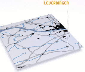 Places with similar names to Leverdingen, Germany :: Disclaimer :: Information on this page comes without warranty of any kind |
||
|
Where is Leverdingen? Elevation and coordinates ::
Latitude (lat): 53°2'0"N Longitude (lon): 9°46'0"E
Elevation (approx.): 92m (map arrows pan, magnifying glasses zoom) |
||
|
Visiting Leverdingen? Hotel/Accommodation ::
Book a hotel in Leverdingen Travel Guide ::
Buy a travel guide for Germany rental cars ::
car rental offers GPS waypoint ::
download a GPX waypoint (PoI) of Leverdingen for your GPS receiver
|
||