|
search place name
|
||
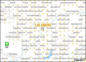
Lölsberg (Nordrhein-Westfalen, Germany)Lölsberg is a town in the Nordrhein-Westfalen region of Germany. An overview map of the region around Lölsberg is displayed below.
regional and 3d topo map of Lölsberg, Germany ::
Lölsberg airports ::
The nearest airport is CGN - Cologne Koln Bonn, located 11.4 km south west of Lölsberg.
Other airports nearby include DUS - Duesseldorf Dusseldorf (55.0 km north west), ESS - Essen Mulheim (59.2 km north west), MGL - Moenchengladbach Monchengladbach (64.8 km north west), ZNV - Koblenz Winningen (68.0 km south), Nearby towns ::
Broich (0.0km north) //
Warth (0.0km north) //
Cyriax (0.0km north) //
Eulenthal (0.0km north) //
Schiefenthal (0.0km north) //
Aggerhütte (1.2km west) //
Bombach (1.2km west) //
Combach (1.2km west) //
Rappenhohn (1.9km north) //
Viersbrücken (1.2km east) //
Halzemich (1.2km east) //
Buschhofen (1.9km south) //
Kern (1.9km south) //
Holl (1.9km south) //
Neuhonrath (1.9km south) //
Eichen (2.2km north west) //
Weberhöhe (2.2km north west) //
Burg (2.2km north east) //
Rittberg (2.2km north east) //
Honsbach (2.2km south west) //
Schlichenbach (2.2km south east) //
Heidgen (2.2km south east) //
Breideneichen (2.3km west) //
Meesbalken (3.7km north) //
Vilshoven (2.3km east) //
Büchel (2.3km east) //
Blindenaaf (2.3km east) //
Oberstehöhe (3.7km south) //
Büchel (3.7km south) //
[all distances 'as the bird flies' and approximate] 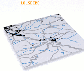 Places with similar names to Lölsberg, Germany :: Disclaimer :: Information on this page comes without warranty of any kind |
||
|
Where is Lölsberg? Elevation and coordinates ::
Latitude (lat): 50°55'0"N Longitude (lon): 7°17'0"E
Elevation (approx.): 168m (map arrows pan, magnifying glasses zoom) |
||
|
Visiting Lölsberg? Hotel/Accommodation ::
Book a hotel in Lölsberg Travel Guide ::
Buy a travel guide for Germany rental cars ::
car rental offers GPS waypoint ::
download a GPX waypoint (PoI) of Lölsberg for your GPS receiver
|
||