|
search place name
|
||
Menhofen (Bayern, Germany)Menhofen is a town in the Bayern region of Germany. An overview map of the region around Menhofen is displayed below.
regional and 3d topo map of Menhofen, Germany ::

Menhofen airports ::
The nearest airport is OBF - Oberpfaffenhofen, located 37.1 km north east of Menhofen.
Other airports nearby include FEL - Fuerstenfeldbruck Furstenfeldbruck (44.7 km north east), AGB - Augsburg (56.9 km north), INN - Innsbruck (81.9 km south east), MUC - Munich Munchen (85.0 km north east), Nearby towns ::
Denklingen (0.0km north) //
Leeder (2.2km north west) //
Asch (3.9km north) //
Lechmühlen (3.9km north) //
Dienhausen (3.9km south) //
Aschthal (3.7km west) //
Welden (3.7km west) //
Seestall (5.7km north) //
Römerkessel (5.7km north) //
Römerau (4.2km south east) //
Oberdießen (6.1km north west) //
Mundraching (6.1km north east) //
Epfach (5.0km east) //
Dornstetten (7.5km north) //
Unterdießen (7.5km north) //
Stadl (6.7km north east) //
Lengenfeld (6.2km north west) //
Vilgertshofen (6.2km north east) //
Kinsau (6.2km south east) //
Waalhaupten (7.5km north west) //
Pflugdorf (7.5km north east) //
Hohenfurch (8.3km south east) //
[all distances 'as the bird flies' and approximate] 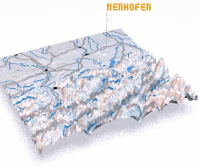 Places with similar names to Menhofen, Germany ::
// Manhavane (MZ)
Disclaimer :: Information on this page comes without warranty of any kind |
||
|
Where is Menhofen? Elevation and coordinates ::
Latitude (lat): 47°55'0"N Longitude (lon): 10°51'0"E
Elevation (approx.): 683m (map arrows pan, magnifying glasses zoom) |
||
|
Visiting Menhofen? Hotel/Accommodation ::
Book a hotel in Menhofen Travel Guide ::
Buy a travel guide for Germany rental cars ::
car rental offers GPS waypoint ::
download a GPX waypoint (PoI) of Menhofen for your GPS receiver
|
||