|
search place name
|
||
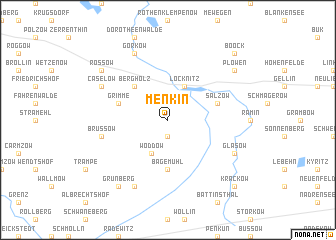
Menkin (Brandenburg, Germany)Menkin is a town in the Brandenburg region of Germany. An overview map of the region around Menkin is displayed below.
regional and 3d topo map of Menkin, Germany ::
Menkin airports ::
The nearest airport is SZZ - Szczechin Goleniow, located 50.2 km east of Menkin.
Other airports nearby include TXL - Berlin Tegel (113.4 km south west), THF - Berlin Tempelhof (117.9 km south west), SXF - Berlin Schonefeld (124.0 km south), RLG - Laage (138.7 km north west), Nearby towns ::
Wollschow (1.9km south) //
Löcknitz (3.9km north) //
Woddow (3.9km south) //
Bergholz (4.3km north west) //
Bagemühl (5.6km south) //
Grimme (3.8km north west) //
Salzow (3.8km north east) //
Brüssow (4.8km south west) //
Gorkow (7.7km north) //
Battin (7.7km south) //
Caselow (5.8km north west) //
Glasow (5.8km south east) //
Rossow (7.1km north west) //
Grünberg (8.1km south west) //
Plöwen (7.1km north east) //
Boock (8.6km north east) //
Krackow (8.6km south east) //
[all distances 'as the bird flies' and approximate] 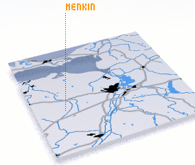 Places with similar names to Menkin, Germany ::
Disclaimer :: Information on this page comes without warranty of any kind |
||
|
Where is Menkin? Elevation and coordinates ::
Latitude (lat): 53°25'0"N Longitude (lon): 14°12'0"E
Elevation (approx.): 18m (map arrows pan, magnifying glasses zoom) |
||
|
Visiting Menkin? Hotel/Accommodation ::
Book a hotel in Menkin Travel Guide ::
Buy a travel guide for Germany rental cars ::
car rental offers GPS waypoint ::
download a GPX waypoint (PoI) of Menkin for your GPS receiver
|
||