|
search place name
|
||
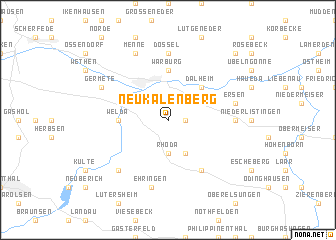
Neu Kalenberg (Nordrhein-Westfalen, Germany)Neu Kalenberg is a town in the Nordrhein-Westfalen region of Germany. An overview map of the region around Neu Kalenberg is displayed below.
regional and 3d topo map of Neu Kalenberg, Germany ::
Neu Kalenberg airports ::
The nearest airport is KSF - Kassel Calden, located 15.4 km east of Neu Kalenberg.
Other airports nearby include PAD - Paderborn Lippstadt (42.3 km north west), GUT - Guetersloh Gutersloh (79.4 km north west), ZCA - Arnsberg Menden (88.1 km west), DTM - Dortmund (108.2 km west), Nearby towns ::
Wettesingen (1.2km east) //
Calenberg (1.9km north) //
Rhöda (3.7km south) //
Breuna (3.9km south) //
Herlinghausen (3.0km north east) //
Wormeln (3.0km north west) //
Dalheim (4.4km north east) //
Warburg (5.6km north) //
Welda (3.5km west) //
Niederelsungen (6.0km south east) //
Oberlistingen (4.6km east) //
Dössel (7.4km north) //
Ersen (5.0km east) //
Grimelsheim (5.0km east) //
Ehringen (7.5km south) //
Volkmarsen (6.6km south west) //
Germete (5.9km north west) //
Menne (7.8km north) //
Daseburg (8.7km north east) //
[all distances 'as the bird flies' and approximate] 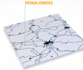 Places with similar names to Neu Kalenberg, Germany ::
// Neucallenberg (DE)
Disclaimer :: Information on this page comes without warranty of any kind |
||
|
Where is Neu Kalenberg? Elevation and coordinates ::
Latitude (lat): 51°27'0"N Longitude (lon): 9°10'0"E
Elevation (approx.): 236m (map arrows pan, magnifying glasses zoom) |
||
|
Visiting Neu Kalenberg? Hotel/Accommodation ::
Book a hotel in Neu Kalenberg Travel Guide ::
Buy a travel guide for Germany rental cars ::
car rental offers GPS waypoint ::
download a GPX waypoint (PoI) of Neu Kalenberg for your GPS receiver
|
||