|
search place name
|
||
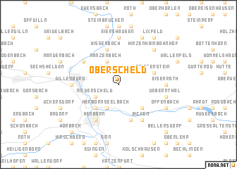
Oberscheld (Hessen, Germany)Oberscheld is a town in the Hessen region of Germany. An overview map of the region around Oberscheld is displayed below.
regional and 3d topo map of Oberscheld, Germany ::
Oberscheld airports ::
The nearest airport is ZNV - Koblenz Winningen, located 73.8 km south west of Oberscheld.
Other airports nearby include ZNF - Hanau Aaf (76.3 km south east), FRA - Frankfurt Main (79.8 km south), CGN - Cologne Koln Bonn (86.4 km west), ZCA - Arnsberg Menden (89.2 km north), Nearby towns ::
Beilstein (1.9km north) //
Eibach (2.2km north west) //
Niederscheld (3.0km south west) //
Herbornseelbach (3.9km south) //
Nanzenbach (3.9km north) //
Burg (4.4km south west) //
Mittenaar (4.4km south east) //
Ballersbach (5.7km south) //
Tringenstein (4.0km north east) //
Oberndorf (4.0km north east) //
Wissenbach (5.7km north) //
Herborn (6.0km south west) //
Bicken (6.0km south east) //
Frohnhausen (5.1km north west) //
Dillenburg (4.7km west) //
Eiershausen (7.4km north) //
Eisemroth (4.7km east) //
Uebernthal (5.0km east) //
Hirzenhain Bahnhof (6.6km north east) //
Offenbach (6.0km south east) //
Hirzenhain (7.8km north) //
Lixfeld (8.2km north east) //
Hörbach (8.8km south west) //
Bellersdorf (8.8km south east) //
[all distances 'as the bird flies' and approximate] 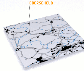 Places with similar names to Oberscheld, Germany ::
// Ober-Schlatt (CH)
// Oberschlatt (CH)
Disclaimer :: Information on this page comes without warranty of any kind |
||
|
Where is Oberscheld? Elevation and coordinates ::
Latitude (lat): 50°44'0"N Longitude (lon): 8°21'0"E
Elevation (approx.): 343m (map arrows pan, magnifying glasses zoom) |
||
|
Visiting Oberscheld? Hotel/Accommodation ::
Book a hotel in Oberscheld Travel Guide ::
Buy a travel guide for Germany rental cars ::
car rental offers GPS waypoint ::
download a GPX waypoint (PoI) of Oberscheld for your GPS receiver
|
||