|
search place name
|
||
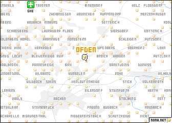
Ofden (Nordrhein-Westfalen, Germany)Ofden is a town in the Nordrhein-Westfalen region of Germany. An overview map of the region around Ofden is displayed below.
regional and 3d topo map of Ofden, Germany ::
Ofden airports ::
The nearest airport is GKE - Geilenkirchen, located 14.5 km north west of Ofden.
Other airports nearby include MST - Maastricht (27.6 km west), MGL - Moenchengladbach Monchengladbach (49.1 km north east), LGG - Liege (55.2 km south west), DUS - Duesseldorf Dusseldorf (65.3 km north east), Nearby towns ::
Kellersberg (0.0km north) //
Euchen (0.0km north) //
Schleibach (1.2km west) //
Vorweiden (1.9km south) //
Ottenfeld (1.9km north) //
Linden (2.2km south east) //
Zopp (2.2km north west) //
Broich (2.3km east) //
Bardenberg (2.3km west) //
Reifeld (2.3km west) //
Duffesheide (2.3km west) //
Weiden (3.7km south) //
Nordstern (3.9km north) //
Alsdorf (3.9km north) //
Neusen (3.0km south east) //
Schaufenberg (3.0km north east) //
Broichweiden (3.0km south east) //
Noppenberg (3.0km north west) //
Birk (3.0km south west) //
Würselen (3.9km south) //
Busch (4.4km north west) //
Dobach (4.4km south west) //
Wefelen (3.5km west) //
Ruif (3.5km west) //
Kämerhof (3.5km west) //
Feldgen (3.5km west) //
Niederbardenberg (3.5km west) //
Verlautenheide (5.6km south) //
Boscheln (5.7km north) //
[all distances 'as the bird flies' and approximate]  Places with similar names to Ofden, Germany ::
// Offton (GB)
Disclaimer :: Information on this page comes without warranty of any kind |
||
|
Where is Ofden? Elevation and coordinates ::
Latitude (lat): 50°51'0"N Longitude (lon): 6°9'0"E
Elevation (approx.): 166m (map arrows pan, magnifying glasses zoom) |
||
|
Visiting Ofden? Hotel/Accommodation ::
Book a hotel in Ofden Travel Guide ::
Buy a travel guide for Germany rental cars ::
car rental offers GPS waypoint ::
download a GPX waypoint (PoI) of Ofden for your GPS receiver
|
||