|
search place name
|
||
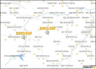
Ohrdruf (Thüringen, Germany)Ohrdruf is a town in the Thüringen region of Germany. An overview map of the region around Ohrdruf is displayed below.
regional and 3d topo map of Ohrdruf, Germany ::
Ohrdruf airports ::
The nearest airport is ERF - Erfurt, located 19.1 km north east of Ohrdruf.
Other airports nearby include HOQ - Hof Plauen (95.3 km south east), BYU - Bayreuth (111.0 km south east), KSF - Kassel Calden (119.3 km north west), LEJ - Leipzig Halle (120.0 km north east), Nearby towns ::
Mühlberg (3.7km north) //
Röhrensee (3.0km north east) //
Wölfis (3.0km south west) //
Hesserode (3.0km north west) //
Gossel (4.4km south east) //
Ringhofen (5.6km north) //
Crawinkel (6.0km south west) //
Bittstädt (4.7km east) //
Holzhausen (5.0km east) //
Lindenhof (5.0km west) //
Liebenstein (7.8km south) //
Wachsenburg (6.0km north east) //
Wandersleben (7.8km north) //
Wechmar (7.8km north) //
Rippersroda (8.2km south east) //
Friedrichsanfang (8.2km south west) //
Günthersleben (8.2km north west) //
Apfelstädt (8.8km north east) //
[all distances 'as the bird flies' and approximate] 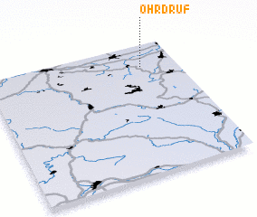
Disclaimer :: Information on this page comes without warranty of any kind |
||
|
Where is Ohrdruf? Elevation and coordinates ::
Latitude (lat): 50°50'0"N Longitude (lon): 10°49'0"E
Elevation (approx.): 471m (map arrows pan, magnifying glasses zoom) |
||
|
Visiting Ohrdruf? Hotel/Accommodation ::
Book a hotel in Ohrdruf Travel Guide ::
Buy a travel guide for Germany rental cars ::
car rental offers GPS waypoint ::
download a GPX waypoint (PoI) of Ohrdruf for your GPS receiver
|
||