|
search place name
|
||
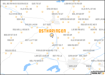
Ostharingen (Niedersachsen, Germany)Ostharingen is a town in the Niedersachsen region of Germany. An overview map of the region around Ostharingen is displayed below.
regional and 3d topo map of Ostharingen, Germany ::
Ostharingen airports ::
The nearest airport is BWE - Braunschweig Wolfsburg, located 37.8 km north of Ostharingen.
Other airports nearby include HAJ - Hannover (69.3 km north west), ZCN - Celle (69.9 km north), KSF - Kassel Calden (94.9 km south west), ERF - Erfurt (120.7 km south), Nearby towns ::
Othfresen (1.1km east) //
Bredelem (1.9km south) //
Posthof (2.2km north east) //
Hohenrode (2.2km north west) //
Upen (2.2km north west) //
Jerstedt (3.9km south) //
Gitter (3.9km north) //
Dörnten (4.4km south east) //
Salzgitter-Bad (5.6km north) //
Heissum (3.4km east) //
Frau Sophienhütte (5.7km south) //
Heimerode (3.9km north east) //
Voßpaß (6.0km north) //
Alt Wallmoden (5.0km north west) //
Groß Döhren (4.6km east) //
Kniestedt (7.5km north) //
Herzog Juliushütte (7.5km south) //
Astfeld (7.5km south) //
Ostlutter (4.9km west) //
Groß Mahner (6.5km north east) //
Hahndorf (5.9km south east) //
Ringelheim (5.9km north west) //
Langelsheim (7.8km south) //
Beinum (8.2km north east) //
Grauhof (8.7km south east) //
[all distances 'as the bird flies' and approximate] 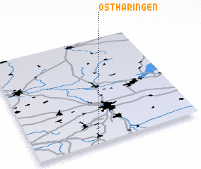 Places with similar names to Ostharingen, Germany :: Disclaimer :: Information on this page comes without warranty of any kind |
||
|
Where is Ostharingen? Elevation and coordinates ::
Latitude (lat): 52°0'0"N Longitude (lon): 10°22'0"E
Elevation (approx.): 151m (map arrows pan, magnifying glasses zoom) |
||
|
Visiting Ostharingen? Hotel/Accommodation ::
Book a hotel in Ostharingen Travel Guide ::
Buy a travel guide for Germany rental cars ::
car rental offers GPS waypoint ::
download a GPX waypoint (PoI) of Ostharingen for your GPS receiver
|
||