|
search place name
|
||
Plaidt (Rheinland-Pfalz, Germany)Plaidt is a town in the Rheinland-Pfalz region of Germany. An overview map of the region around Plaidt is displayed below.
regional and 3d topo map of Plaidt, Germany ::

Plaidt airports ::
The nearest airport is ZNV - Koblenz Winningen, located 12.3 km south east of Plaidt.
Other airports nearby include HHN - Frankfurt Hahn (51.1 km south), CGN - Cologne Koln Bonn (54.9 km north), SPM - Spangdahlem Ab (69.4 km south west), ZQF - Trier Fohren (74.0 km south west), Nearby towns ::
Miesenheim (1.2km east) //
Saffig (2.2km south east) //
Kretz (2.4km west) //
Andernach (3.7km north) //
Gönnersdorf (5.6km north) //
Ochtendung (5.7km south) //
Sackenheimerhöfe (5.7km south) //
Weißenthurm (4.0km north east) //
Leutesdorf (5.7km north) //
Feldkirchen (5.7km north) //
Wollendorf (5.7km north) //
Hüllenberg (5.7km north) //
Eich (5.1km north west) //
Fahr (6.0km north east) //
Kettig (4.7km east) //
Sürzerhof (7.5km south) //
Nickenich (5.1km west) //
Kruft (5.1km west) //
Irlich (6.6km north east) //
Bassenheim (6.0km south east) //
Rodenbach (7.8km north) //
Namedy (7.8km north) //
Neuwied (6.0km north east) //
Heddesdorf (6.0km north east) //
Rasselstein (7.3km north east) //
Segendorf (7.3km north east) //
Wolken (8.8km south east) //
[all distances 'as the bird flies' and approximate] 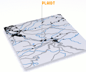 Places with similar names to Plaidt, Germany ::
Disclaimer :: Information on this page comes without warranty of any kind |
||
|
Where is Plaidt? Elevation and coordinates ::
Latitude (lat): 50°24'0"N Longitude (lon): 7°24'0"E
Elevation (approx.): 116m (map arrows pan, magnifying glasses zoom) |
||
|
Visiting Plaidt? Hotel/Accommodation ::
Book a hotel in Plaidt Travel Guide ::
Buy a travel guide for Germany rental cars ::
car rental offers GPS waypoint ::
download a GPX waypoint (PoI) of Plaidt for your GPS receiver
|
||