|
search place name
|
||
Rottenegg (Bayern, Germany)Rottenegg is a town in the Bayern region of Germany. An overview map of the region around Rottenegg is displayed below.
regional and 3d topo map of Rottenegg, Germany ::

Rottenegg airports ::
The nearest airport is MUC - Munich Munchen, located 34.1 km south of Rottenegg.
Other airports nearby include FEL - Fuerstenfeldbruck Furstenfeldbruck (57.6 km south west), AGB - Augsburg (59.8 km south west), OBF - Oberpfaffenhofen (69.3 km south west), NUE - Nuernberg Nurnberg (104.1 km north west), Nearby towns ::
Untermettenbach (1.9km north) //
Oberpindhart (2.2km north east) //
Obermettenbach (2.2km north east) //
Attenhausen (2.2km south east) //
Oberlauterbach (3.7km south) //
Unterpindhart (3.9km north) //
Brunn (3.1km south east) //
Oberzell (3.1km north west) //
Niederlauterbach (3.1km south west) //
Kleinmünster (4.4km north west) //
Gaden bei Geisenfeld (4.4km north west) //
Gebrontshausen (5.6km south) //
Lehen (3.7km west) //
Stadelhof (3.7km west) //
Lindach (5.6km north) //
Hüll (5.7km south) //
Hagertshausen (5.7km south) //
Jebertshausen (5.7km south) //
Oberempfenbach (4.1km south east) //
Pöbenhausen (4.1km north east) //
Ainau (4.1km north west) //
Zell (4.1km north west) //
Wolfertshausen (5.2km south east) //
Gosseltshausen (5.2km south west) //
Unterzell (5.2km north west) //
Geisenfeld (5.2km north west) //
Engelbrechtsmünster (6.1km north west) //
Schillwitzried (6.1km north west) //
Meilenhausen (4.9km east) //
[all distances 'as the bird flies' and approximate] 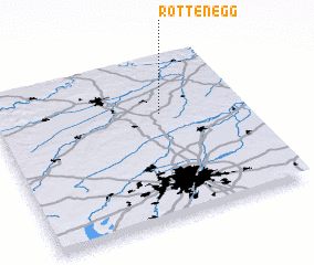 Places with similar names to Rottenegg, Germany ::
Disclaimer :: Information on this page comes without warranty of any kind |
||
|
Where is Rottenegg? Elevation and coordinates ::
Latitude (lat): 48°39'0"N Longitude (lon): 11°40'0"E
Elevation (approx.): 414m (map arrows pan, magnifying glasses zoom) |
||
|
Visiting Rottenegg? Hotel/Accommodation ::
Book a hotel in Rottenegg Travel Guide ::
Buy a travel guide for Germany rental cars ::
car rental offers GPS waypoint ::
download a GPX waypoint (PoI) of Rottenegg for your GPS receiver
|
||