|
search place name
|
||
Saalhoff (Nordrhein-Westfalen, Germany)Saalhoff is a town in the Nordrhein-Westfalen region of Germany. An overview map of the region around Saalhoff is displayed below.
regional and 3d topo map of Saalhoff, Germany ::

Saalhoff airports ::
The nearest airport is DUS - Duesseldorf Dusseldorf, located 31.6 km south east of Saalhoff.
Other airports nearby include ESS - Essen Mulheim (31.6 km south east), MGL - Moenchengladbach Monchengladbach (33.8 km south), GKE - Geilenkirchen (72.3 km south west), DTM - Dortmund (74.9 km east), Nearby towns ::
Alpsray (1.2km east) //
Kamp-Lintfort (3.7km south) //
Graft (2.3km east) //
Kamper Berg (3.9km south) //
Lintfort (3.9km south) //
Millingen (3.9km north) //
Millinger Heide (3.9km north) //
Rheinberger Heide (3.0km north east) //
Kamperbrück (4.4km south west) //
Drüpt (5.6km north) //
Alpen (5.7km north) //
Kohlenhuck (3.9km south east) //
Hörstgenerhuck (3.9km south west) //
Niephauserfeld (5.7km south) //
Wickrath (6.0km south west) //
Wallach (6.0km north) //
Ossenberg (5.1km north east) //
Brückerheide (4.6km west) //
Hochwald (4.6km west) //
Rayen (7.4km south) //
Rill (7.4km north) //
Winterswick (4.6km east) //
Weiler (5.0km west) //
Hoerstgen (5.0km west) //
Bönning (7.5km north) //
Rheinberg (5.0km east) //
Borth (7.5km north) //
Dachsbruch (6.5km south west) //
Noppick (5.9km south west) //
[all distances 'as the bird flies' and approximate] 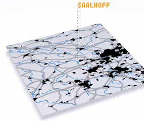 Places with similar names to Saalhoff, Germany ::
Disclaimer :: Information on this page comes without warranty of any kind |
||
|
Where is Saalhoff? Elevation and coordinates ::
Latitude (lat): 51°32'0"N Longitude (lon): 6°32'0"E
Elevation (approx.): 23m (map arrows pan, magnifying glasses zoom) |
||
|
Visiting Saalhoff? Hotel/Accommodation ::
Book a hotel in Saalhoff Travel Guide ::
Buy a travel guide for Germany rental cars ::
car rental offers GPS waypoint ::
download a GPX waypoint (PoI) of Saalhoff for your GPS receiver
|
||