|
search place name
|
||
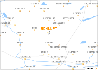
Schluft (Brandenburg, Germany)Schluft is a town in the Brandenburg region of Germany. An overview map of the region around Schluft is displayed below.
regional and 3d topo map of Schluft, Germany ::
Schluft airports ::
The nearest airport is TXL - Berlin Tegel, located 45.4 km south of Schluft.
Other airports nearby include THF - Berlin Tempelhof (53.3 km south), SXF - Berlin Schonefeld (63.5 km south), SZZ - Szczechin Goleniow (118.1 km north east), SZW - Schwerin Parchim (125.4 km north west), Nearby towns ::
Liebenthal (3.7km south) //
Groß Dölln (4.3km north east) //
Döllner Siedlung (4.3km south east) //
Kurtschlag (5.6km north) //
Kolonie Klein Dölln (5.7km north) //
Kappe (3.8km north west) //
Groß Schönebeck (6.0km south) //
Böhmerheide (7.4km south) //
Hammer (7.5km south) //
Groß Väter (7.1km north east) //
[all distances 'as the bird flies' and approximate] 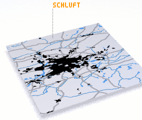 Places with similar names to Schluft, Germany ::
// Cegalo Afata (ET)
// Skylight (US)
// Seeklüft (DE)
// Skelevatyy (UA)
// Skelevatyy (UA)
// Skelevatyy (UA)
// Skylight (US)
// Skellefteå (SE)
Disclaimer :: Information on this page comes without warranty of any kind |
||
|
Where is Schluft? Elevation and coordinates ::
Latitude (lat): 52°57'0"N Longitude (lon): 13°29'0"E
Elevation (approx.): 66m (map arrows pan, magnifying glasses zoom) |
||
|
Visiting Schluft? Hotel/Accommodation ::
Book a hotel in Schluft Travel Guide ::
Buy a travel guide for Germany rental cars ::
car rental offers GPS waypoint ::
download a GPX waypoint (PoI) of Schluft for your GPS receiver
|
||