|
search place name
|
||
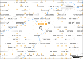
Stöben (Thüringen, Germany)Stöben is a town in the Thüringen region of Germany. An overview map of the region around Stöben is displayed below.
regional and 3d topo map of Stöben, Germany ::
Stöben airports ::
The nearest airport is ERF - Erfurt, located 52.9 km west of Stöben.
Other airports nearby include LEJ - Leipzig Halle (55.6 km north east), AOC - Altenburg Nobitz (57.4 km east), HOQ - Hof Plauen (87.2 km south), BYU - Bayreuth (120.5 km south), Nearby towns ::
Tümpling (1.2km east) //
Schinditz (1.2km east) //
Schieben (1.2km east) //
Camburg (1.9km south) //
Abtlöbnitz (2.2km north east) //
Wonnitz (2.2km south east) //
Posewitz (2.2km south east) //
Döbritschen (2.2km south west) //
Schmiedehausen (2.3km west) //
Tultewitz (3.7km north) //
Lachstedt (3.0km north west) //
Zöthen (3.0km south east) //
Freiroda (3.9km north) //
Weichau (3.9km north) //
Kreipitzsch (3.9km north) //
Rödigen (3.9km north) //
Wichmar (3.9km south) //
Rodameuschel (3.9km south) //
Würchhausen (3.9km south) //
Großheringen (4.4km north west) //
Crölpa (4.4km north east) //
Steudnitz (5.6km south) //
Crauschwitz (3.5km east) //
Saaleck (5.6km north) //
Stendorf (5.6km north) //
Leislau (4.0km north east) //
Kleingestewitz (4.0km north east) //
Münchengosserstädt (4.0km south west) //
Kleinprießnitz (4.0km south east) //
[all distances 'as the bird flies' and approximate] 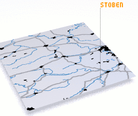 Places with similar names to Stöben, Germany ::
Disclaimer :: Information on this page comes without warranty of any kind |
||
|
Where is Stöben? Elevation and coordinates ::
Latitude (lat): 51°4'0"N Longitude (lon): 11°42'0"E
Elevation (approx.): 132m (map arrows pan, magnifying glasses zoom) |
||
|
Visiting Stöben? Hotel/Accommodation ::
Book a hotel in Stöben Travel Guide ::
Buy a travel guide for Germany rental cars ::
car rental offers GPS waypoint ::
download a GPX waypoint (PoI) of Stöben for your GPS receiver
|
||