|
search place name
|
||
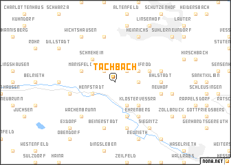
Tachbach (Thüringen, Germany)Tachbach is a town in the Thüringen region of Germany. An overview map of the region around Tachbach is displayed below.
regional and 3d topo map of Tachbach, Germany ::
Tachbach airports ::
The nearest airport is ERF - Erfurt, located 55.2 km north east of Tachbach.
Other airports nearby include HOQ - Hof Plauen (92.1 km east), BYU - Bayreuth (95.1 km south east), GHF - Giebelstadt Aaf (108.9 km south west), NUE - Nuernberg Nurnberg (119.5 km south), Nearby towns ::
Grub (2.2km north east) //
Oberstadt (2.2km north west) //
Lengfeld (2.4km east) //
Themar (3.9km south) //
Bischofrod (3.0km north east) //
Henfstädt (3.0km south west) //
Kloster Veßra (4.4km south east) //
Schmeheim (4.4km north west) //
Grimmelshausen (5.7km south) //
Marisfeld (4.0km north west) //
Eichenberg (4.0km north east) //
Ehrenberg (6.0km south east) //
Ahlstädt (4.7km east) //
Neuhof (5.1km east) //
Trostadt (7.5km south) //
Keulrod (5.1km east) //
Beinerstadt (7.5km south) //
Sankt Bernhard (7.5km south) //
Leutersdorf (5.1km west) //
Dietzhausen (7.5km north) //
Mäbendorf (7.5km north) //
Wachenbrunn (6.6km south west) //
Heinrichs (7.8km north) //
Siegritz (8.2km south east) //
Wichtshausen (8.2km north west) //
Exdorf (8.8km south west) //
[all distances 'as the bird flies' and approximate] 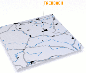 Places with similar names to Tachbach, Germany ::
Disclaimer :: Information on this page comes without warranty of any kind |
||
|
Where is Tachbach? Elevation and coordinates ::
Latitude (lat): 50°32'0"N Longitude (lon): 10°37'0"E
Elevation (approx.): 417m (map arrows pan, magnifying glasses zoom) |
||
|
Visiting Tachbach? Hotel/Accommodation ::
Book a hotel in Tachbach Travel Guide ::
Buy a travel guide for Germany rental cars ::
car rental offers GPS waypoint ::
download a GPX waypoint (PoI) of Tachbach for your GPS receiver
|
||