|
search place name
|
||
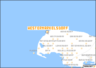
Westermarkelsdorf (Schleswig-Holstein, Germany)Westermarkelsdorf is a town in the Schleswig-Holstein region of Germany. An overview map of the region around Westermarkelsdorf is displayed below.
regional and 3d topo map of Westermarkelsdorf, Germany ::
Westermarkelsdorf airports ::
The nearest airport is KEL - Kiel Holtenau, located 60.6 km west of Westermarkelsdorf.
Other airports nearby include LBC - Luebeck Lubeck Blankensee (82.1 km south), SGD - Soenderborg Sonderborg (95.1 km north west), RLG - Laage (104.2 km south east), ODE - Odense (116.4 km north west), Nearby towns ::
Schlagsdorf (2.1km south east) //
Kopendorf (3.7km south) //
Dänschendorf (2.8km south east) //
Westfehmarn (2.8km south east) //
Petersdorf auf Fehmarn (3.9km south) //
Bojendorf (3.9km south) //
Sulsdorf (5.6km south) //
Gollendorf (5.7km south) //
Püttsee (6.0km south) //
Orth (7.4km south) //
Wenkendorf (4.3km east) //
Lemkendorf (6.4km south east) //
Lemkenhafen (8.1km south east) //
Westerbergen (8.1km south east) //
Flügge (8.1km south west) //
Altjellingsdorf (7.0km south east) //
Neujellingsdorf (8.6km south east) //
[all distances 'as the bird flies' and approximate] 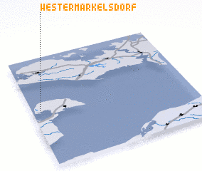 Places with similar names to Westermarkelsdorf, Germany :: Disclaimer :: Information on this page comes without warranty of any kind |
||
|
Where is Westermarkelsdorf? Elevation and coordinates ::
Latitude (lat): 54°31'0"N Longitude (lon): 11°3'0"E
Elevation (approx.): -2m (map arrows pan, magnifying glasses zoom) |
||
|
Visiting Westermarkelsdorf? Hotel/Accommodation ::
Book a hotel in Westermarkelsdorf Travel Guide ::
Buy a travel guide for Germany rental cars ::
car rental offers GPS waypoint ::
download a GPX waypoint (PoI) of Westermarkelsdorf for your GPS receiver
|
||