|
search place name
|
||
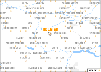
Wolsier (Brandenburg, Germany)Wolsier is a town in the Brandenburg region of Germany. An overview map of the region around Wolsier is displayed below.
regional and 3d topo map of Wolsier, Germany ::
Wolsier airports ::
The nearest airport is TXL - Berlin Tegel, located 71.3 km east of Wolsier.
Other airports nearby include THF - Berlin Tempelhof (81.7 km east), SZW - Schwerin Parchim (85.4 km north), SXF - Berlin Schonefeld (93.1 km south east), BWE - Braunschweig Wolfsburg (124.3 km west), Nearby towns ::
Prietzen (2.2km north east) //
Hohenwinkel (2.2km east) //
Parey (3.9km south) //
Gülpe (3.4km west) //
Grütz (5.7km south) //
Altes Dorf (5.7km south) //
Molkenberg (3.8km south west) //
Spaatz (3.8km south east) //
Kietz (5.0km north east) //
Neumolkenberg (5.0km south west) //
Schollene (5.0km south west) //
Strodehne (6.0km north) //
Glewe (4.9km east) //
Schafhorst (7.5km north) //
Scheunstelle (7.5km north) //
Buchhorst (6.5km north east) //
Rhinow (5.8km north east) //
Birkhorst (7.7km north) //
Garz (5.8km north west) //
Neuschollene (7.7km south) //
Hohennauen (7.1km south east) //
Kuhlhausen (8.7km north west) //
[all distances 'as the bird flies' and approximate] 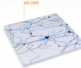 Places with similar names to Wolsier, Germany ::
Disclaimer :: Information on this page comes without warranty of any kind |
||
|
Where is Wolsier? Elevation and coordinates ::
Latitude (lat): 52°43'0"N Longitude (lon): 12°16'0"E
Elevation (approx.): 27m (map arrows pan, magnifying glasses zoom) |
||
|
Visiting Wolsier? Hotel/Accommodation ::
Book a hotel in Wolsier Travel Guide ::
Buy a travel guide for Germany rental cars ::
car rental offers GPS waypoint ::
download a GPX waypoint (PoI) of Wolsier for your GPS receiver
|
||