|
search place name
|
||
Anconella (Italy)Anconella is a town in Italy. An overview map of the region around Anconella is displayed below.
regional and 3d topo map of Anconella, Italy ::

nearby GPS traces from timatio ::
Anconella airports ::
The nearest airport is BLQ - Bologna, located 26.3 km north of Anconella.
Other airports nearby include FLR - Firenze (55.2 km south), FRL - Forli (61.3 km east), PMF - Parma (99.8 km north west), PSA - Pisa (100.9 km south west), Nearby towns ::
Farnè (1.3km west) //
Sabbioni (2.3km south east) //
Loiano (3.7km south) //
Livergnano (3.2km north east) //
Santa Cecilia (3.2km north west) //
Scanello (4.6km south east) //
Zula (5.7km north) //
Monzuno (4.4km south west) //
Gragnano (6.2km south east) //
Zenarella (5.4km north east) //
Lama (5.4km north west) //
Castelnuovo di Bisano (5.6km east) //
Pianoro (7.5km north) //
Vado (5.6km west) //
Borgo di Bisano (6.5km south east) //
Tazzola (6.5km north east) //
Vergiano (7.9km south) //
Badolo (7.9km north) //
Gorgognano (7.7km north east) //
[all distances 'as the bird flies' and approximate] 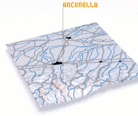 Places with similar names to Anconella, Italy ::
// Áno Kanália (GR)
Disclaimer :: Information on this page comes without warranty of any kind |
||
|
Where is Anconella? Elevation and coordinates ::
Latitude (lat): 44°18'0"N Longitude (lon): 11°19'0"E
Elevation (approx.): 478m (map arrows pan, magnifying glasses zoom) |
||
|
Visiting Anconella? Hotel/Accommodation ::
Book a hotel in Anconella Travel Guide ::
Buy a travel guide for Italy rental cars ::
car rental offers GPS waypoint ::
download a GPX waypoint (PoI) of Anconella for your GPS receiver
|
||