|
search place name
|
||
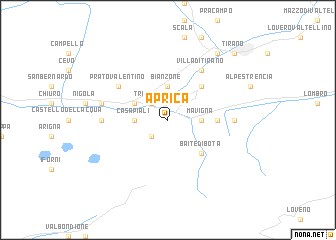
Aprica (Italy)Aprica is a town in Italy. An overview map of the region around Aprica is displayed below.
regional and 3d topo map of Aprica, Italy ::
Aprica airports ::
The nearest airport is SMV - Samedan, located 45.8 km north of Aprica.
Other airports nearby include BGY - Bergamo Orio Al Serio (61.2 km south west), VBS - Montichiari (82.1 km south), LUG - Lugano (93.4 km west), BZO - Bolzano (100.6 km east), Nearby towns ::
Carona (2.3km south west) //
Tresenda (2.3km north west) //
Casa Piali (2.6km west) //
Mavigna (2.6km east) //
Bianzone (3.7km north) //
Teglio (3.2km north west) //
Baite di Bota (4.5km south east) //
Stazzona (4.5km north east) //
Madonna (3.9km east) //
Prato Valentino (5.3km north west) //
Villa di Tirano (6.1km north east) //
San Sebastiano (5.1km west) //
Le Bratte (5.1km east) //
La Pila (5.5km west) //
Madonna di Tirano (8.4km north east) //
Tirano (9.0km north east) //
[all distances 'as the bird flies' and approximate] 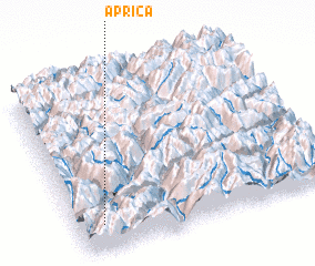 Places with similar names to Aprica, Italy ::
Disclaimer :: Information on this page comes without warranty of any kind |
||
|
Where is Aprica? Elevation and coordinates ::
Latitude (lat): 46°9'0"N Longitude (lon): 10°6'0"E
Elevation (approx.): 800m (map arrows pan, magnifying glasses zoom) |
||
|
Visiting Aprica? Hotel/Accommodation ::
Book a hotel in Aprica Travel Guide ::
Buy a travel guide for Italy rental cars ::
car rental offers GPS waypoint ::
download a GPX waypoint (PoI) of Aprica for your GPS receiver
|
||