|
search place name
|
||
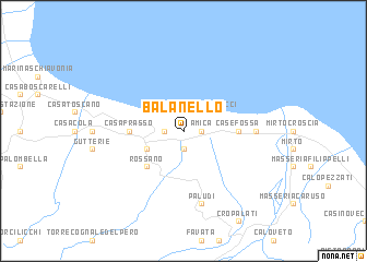
Balanello (Italy)Balanello is a town in Italy. An overview map of the region around Balanello is displayed below.
regional and 3d topo map of Balanello, Italy ::
Balanello airports ::
The nearest airport is CRV - Crotone, located 75.8 km south east of Balanello.
Other airports nearby include SUF - Lamezia Terme (85.4 km south west), TAR - Grottaglie (119.7 km north east), LCC - Lecce (144.1 km north east), BDS - Brindisi Casale (160.3 km north east), Nearby towns ::
Seggio Parrone (1.4km east) //
Seggio Romano (1.4km east) //
Balano di Falco (1.4km east) //
Amica (1.4km east) //
Il Crossetto (1.4km west) //
Casa Oliveto (1.9km south) //
Casello Martucci (2.3km north east) //
Torre Pinta (2.3km north west) //
Rossano Stazione (3.4km south west) //
SantʼAngelo (3.4km north west) //
Rossano (4.7km south west) //
Casa Frasso (4.3km west) //
Case Fossa (4.3km east) //
La Foresta (5.7km east) //
Paludi (7.5km south) //
[all distances 'as the bird flies' and approximate] 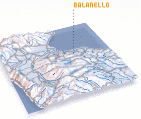 Places with similar names to Balanello, Italy ::
// Balėnėliai (LT)
// Belenli (TR)
// Belenli (TR)
// Belenli (TR)
// Bil Nāli (BD)
// Blanla (IN)
// Balanalu (ID)
// Bélénialé (GN)
// Balaniaoulé (ML)
// Ballinalee (IE)
Disclaimer :: Information on this page comes without warranty of any kind |
||
|
Where is Balanello? Elevation and coordinates ::
Latitude (lat): 39°36'0"N Longitude (lon): 16°40'0"E
Elevation (approx.): 36m (map arrows pan, magnifying glasses zoom) |
||
|
Visiting Balanello? Hotel/Accommodation ::
Book a hotel in Balanello Travel Guide ::
Buy a travel guide for Italy rental cars ::
car rental offers GPS waypoint ::
download a GPX waypoint (PoI) of Balanello for your GPS receiver
|
||