|
search place name
|
||
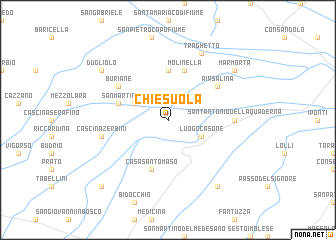
Chiesuola (Italy)Chiesuola is a town in Italy. An overview map of the region around Chiesuola is displayed below.
regional and 3d topo map of Chiesuola, Italy ::
Chiesuola airports ::
The nearest airport is BLQ - Bologna, located 28.9 km west of Chiesuola.
Other airports nearby include FRL - Forli (53.2 km south east), FLR - Firenze (91.3 km south west), QPA - Padova (93.5 km north), RMI - Rimini (97.9 km south east), Nearby towns ::
San Martino in Argine (3.2km north west) //
Miravalle (3.2km north west) //
Luogo Casone (3.2km south east) //
Fondo Volta (5.6km north) //
Lupara (4.4km north west) //
Casa San Tomaso (5.7km south) //
Molinella (5.7km north) //
Aia Salina (5.4km north east) //
Buriane (5.4km north west) //
SantʼAntonio della Quaderna (5.3km east) //
Cascina Zerbini (5.6km west) //
Traghetto (7.9km north) //
Casa Zappoli (8.4km south east) //
Marmorta (7.7km north east) //
Dugliolo (7.7km north west) //
Scuole del Fossatone (9.1km south west) //
[all distances 'as the bird flies' and approximate] 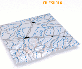 Places with similar names to Chiesuola, Italy ::
Disclaimer :: Information on this page comes without warranty of any kind |
||
|
Where is Chiesuola? Elevation and coordinates ::
Latitude (lat): 44°34'0"N Longitude (lon): 11°39'0"E
Elevation (approx.): 4m (map arrows pan, magnifying glasses zoom) |
||
|
Visiting Chiesuola? Hotel/Accommodation ::
Book a hotel in Chiesuola Travel Guide ::
Buy a travel guide for Italy rental cars ::
car rental offers GPS waypoint ::
download a GPX waypoint (PoI) of Chiesuola for your GPS receiver
|
||