|
search place name
|
||
Le Fornacette (Italy)Le Fornacette is a town in Italy. An overview map of the region around Le Fornacette is displayed below.
regional and 3d topo map of Le Fornacette, Italy ::

Le Fornacette airports ::
The nearest airport is FLR - Firenze, located 21.9 km north of Le Fornacette.
Other airports nearby include SAY - Siena Ampugnano (40.9 km south), PSA - Pisa (61.5 km west), GRS - Grosseto (95.4 km south), FRL - Forli (97.9 km north east), Nearby towns ::
San Pancrazio (1.9km north) //
Lucignano (1.9km north) //
Bargino (2.7km east) //
Calzaiolo (3.3km north east) //
San Quirico in Collina (3.9km north) //
San Casciano in Val di Pesa (4.6km north east) //
Poppiano (4.6km north west) //
Fiano (4.6km south west) //
Turignano (4.0km west) //
La Torre (4.4km north west) //
Marcialla (5.7km south) //
Luia (5.5km south west) //
Gigliola (5.7km west) //
San Donnino (7.5km south) //
Tavernelle in Val di Pesa (7.5km south) //
Montagnana (6.9km north west) //
Cerbaia (7.9km north) //
Case Nuove (6.5km north west) //
[all distances 'as the bird flies' and approximate] 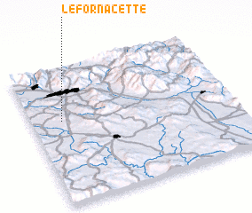 Places with similar names to Le Fornacette, Italy :: Disclaimer :: Information on this page comes without warranty of any kind |
||
|
Where is Le Fornacette? Elevation and coordinates ::
Latitude (lat): 43°37'0"N Longitude (lon): 11°9'0"E
Elevation (approx.): 296m (map arrows pan, magnifying glasses zoom) |
||
|
Visiting Le Fornacette? Hotel/Accommodation ::
Book a hotel in Le Fornacette Travel Guide ::
Buy a travel guide for Italy rental cars ::
car rental offers GPS waypoint ::
download a GPX waypoint (PoI) of Le Fornacette for your GPS receiver
|
||