|
search place name
|
||
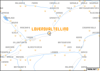
Lovero Valtellino (Italy)Lovero Valtellino is a town in Italy. An overview map of the region around Lovero Valtellino is displayed below.
regional and 3d topo map of Lovero Valtellino, Italy ::
Lovero Valtellino airports ::
The nearest airport is SMV - Samedan, located 42.9 km north west of Lovero Valtellino.
Other airports nearby include BGY - Bergamo Orio Al Serio (74.5 km south west), BZO - Bolzano (87.8 km east), VBS - Montichiari (89.7 km south), LUG - Lugano (105.4 km west), Nearby towns ::
Mazzo di Valtellina (2.3km north east) //
Contrada di Sotto (3.2km south west) //
Piazzi di Dentro (4.3km north east) //
Grosotto (5.7km north) //
Baite Dorena (5.3km south east) //
Tirano (5.5km west) //
Lombro (7.5km south) //
Alpe Strencia (6.8km south west) //
Grosio (7.8km north) //
Cortenedolo (8.4km south east) //
Vico (7.6km south east) //
[all distances 'as the bird flies' and approximate] 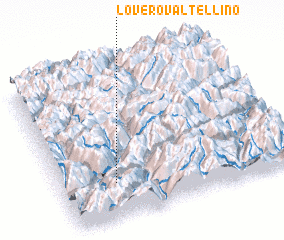 Places with similar names to Lovero Valtellino, Italy :: Disclaimer :: Information on this page comes without warranty of any kind |
||
|
Where is Lovero Valtellino? Elevation and coordinates ::
Latitude (lat): 46°14'0"N Longitude (lon): 10°14'0"E
Elevation (approx.): 525m (map arrows pan, magnifying glasses zoom) |
||
|
Visiting Lovero Valtellino? Hotel/Accommodation ::
Book a hotel in Lovero Valtellino Travel Guide ::
Buy a travel guide for Italy rental cars ::
car rental offers GPS waypoint ::
download a GPX waypoint (PoI) of Lovero Valtellino for your GPS receiver
|
||