|
search place name
|
||
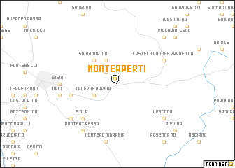
Monteaperti (Italy)Monteaperti is a town in Italy. An overview map of the region around Monteaperti is displayed below.
regional and 3d topo map of Monteaperti, Italy ::
Monteaperti airports ::
The nearest airport is SAY - Siena Ampugnano, located 16.0 km south west of Monteaperti.
Other airports nearby include FLR - Firenze (57.8 km north), GRS - Grosseto (68.5 km south west), PEG - Perugia (91.1 km east), PSA - Pisa (93.5 km north west), Nearby towns ::
Vico dʼArbia (2.3km north west) //
Pianella (3.9km north) //
Presciano (3.3km south west) //
Taverne dʼArbia (3.3km south west) //
San Giovanni (4.6km north west) //
Val di Pugna (5.7km west) //
Isola (6.9km south west) //
Castelnuovo Berardenga (6.5km north east) //
Colle Malamerenda (7.7km south west) //
Ponte a Tressa (8.4km south west) //
Vescona (7.7km south east) //
San Gusmè (9.2km north east) //
[all distances 'as the bird flies' and approximate] 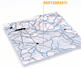 Places with similar names to Monteaperti, Italy ::
// Montaperti (IT)
// Montaperto (IT)
// Monteaperta (IT)
// Monteprato (IT)
// Monte Prieto (MX)
// Montipouret (FR)
// Montpertuy (FR)
Disclaimer :: Information on this page comes without warranty of any kind |
||
|
Where is Monteaperti? Elevation and coordinates ::
Latitude (lat): 43°19'0"N Longitude (lon): 11°26'0"E
Elevation (approx.): 193m (map arrows pan, magnifying glasses zoom) |
||
|
Visiting Monteaperti? Hotel/Accommodation ::
Book a hotel in Monteaperti Travel Guide ::
Buy a travel guide for Italy rental cars ::
car rental offers GPS waypoint ::
download a GPX waypoint (PoI) of Monteaperti for your GPS receiver
|
||