|
search place name
|
||
Monte Urano (Italy)Monte Urano is a town in Italy. An overview map of the region around Monte Urano is displayed below.
regional and 3d topo map of Monte Urano, Italy ::

Monte Urano airports ::
The nearest airport is PEG - Perugia, located 94.5 km west of Monte Urano.
Other airports nearby include PSR - Pescara (95.2 km south east), RMI - Rimini (124.7 km north west), ZAD - Zadar (169.0 km north east), FRL - Forli (169.6 km north west), Nearby towns ::
Molino di Monte Urano (2.3km south east) //
Molino Gigliucci (3.7km south) //
SantʼElpidio a Mare (3.9km north) //
Montegranaro (4.6km north west) //
Fermo (6.9km south east) //
Monte San Giusto (6.6km north west) //
Torre San Patrizio (6.6km south west) //
[all distances 'as the bird flies' and approximate] 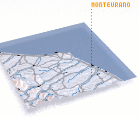 Places with similar names to Monte Urano, Italy ::
// Minturn (US)
// Minturn (US)
// Minturn (US)
// Mandarin (US)
// Mandern (DE)
// Monteriano (PA)
// Monterone (IT)
// Montrone (IT)
// Monódhrion (GR)
// Mondrón (ES)
Disclaimer :: Information on this page comes without warranty of any kind |
||
|
Where is Monte Urano? Elevation and coordinates ::
Latitude (lat): 43°12'0"N Longitude (lon): 13°40'0"E
Elevation (approx.): 166m (map arrows pan, magnifying glasses zoom) |
||
|
Visiting Monte Urano? Hotel/Accommodation ::
Book a hotel in Monte Urano Travel Guide ::
Buy a travel guide for Italy rental cars ::
car rental offers GPS waypoint ::
download a GPX waypoint (PoI) of Monte Urano for your GPS receiver
|
||