|
search place name
|
||
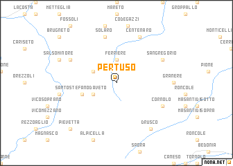
Pertuso (Italy)Pertuso is a town in Italy. An overview map of the region around Pertuso is displayed below.
regional and 3d topo map of Pertuso, Italy ::
Pertuso airports ::
The nearest airport is QPZ - Piacenza, located 39.0 km north east of Pertuso.
Other airports nearby include GOA - Genoa Genova Sestri (56.6 km west), PMF - Parma (67.9 km east), LIN - Milan Linate (95.6 km north), VBS - Montichiari (113.0 km north east), Nearby towns ::
Ferriere (3.7km north) //
Selva (3.2km south west) //
Gambaro (3.2km north west) //
Santo Stefano dʼAveto (4.4km south west) //
Solaro (7.5km north) //
San Gregorio (6.4km north east) //
Curletti (6.4km north west) //
Centenaro (7.9km north) //
Cornolo (6.5km south east) //
Drusco (8.4km south east) //
Pievetta (9.1km south west) //
[all distances 'as the bird flies' and approximate] 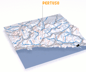 Places with similar names to Pertuso, Italy ::
Disclaimer :: Information on this page comes without warranty of any kind |
||
|
Where is Pertuso? Elevation and coordinates ::
Latitude (lat): 44°36'0"N Longitude (lon): 9°30'0"E
Elevation (approx.): 931m (map arrows pan, magnifying glasses zoom) |
||
|
Visiting Pertuso? Hotel/Accommodation ::
Book a hotel in Pertuso Travel Guide ::
Buy a travel guide for Italy rental cars ::
car rental offers GPS waypoint ::
download a GPX waypoint (PoI) of Pertuso for your GPS receiver
|
||