|
search place name
|
||
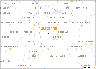
Puliciano (Italy)Puliciano is a town in Italy. An overview map of the region around Puliciano is displayed below.
regional and 3d topo map of Puliciano, Italy ::
Puliciano airports ::
The nearest airport is SAY - Siena Ampugnano, located 50.3 km west of Puliciano.
Other airports nearby include PEG - Perugia (62.6 km south east), FLR - Firenze (70.4 km north west), FRL - Forli (91.9 km north), RMI - Rimini (93.7 km north east), Nearby towns ::
Rigutino (2.3km south east) //
Pieve di Rigutino (2.7km east) //
Vitiano (3.3km south east) //
Arezzo (4.6km north east) //
Monistero Saccione (4.6km north east) //
Poderi Rancoli (5.6km south) //
Rignanelli (4.0km east) //
Fondaccio (4.4km south east) //
Montagnano (5.5km south west) //
Santa Firmina (6.2km north east) //
Mugliano (5.5km north west) //
Case Pieve al Toppo (5.5km north west) //
Tegoleto (5.4km west) //
Vignale (7.4km north) //
Cesa (7.9km south) //
Pescaia (8.4km south west) //
Castiglion Fiorentino (7.7km south east) //
Battifolle (7.7km north west) //
Poggiola (8.4km north west) //
Il Bastardo (8.4km north west) //
Staggiano (9.2km north east) //
[all distances 'as the bird flies' and approximate] 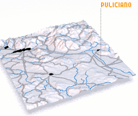 Places with similar names to Puliciano, Italy ::
Disclaimer :: Information on this page comes without warranty of any kind |
||
|
Where is Puliciano? Elevation and coordinates ::
Latitude (lat): 43°23'0"N Longitude (lon): 11°51'0"E
Elevation (approx.): 257m (map arrows pan, magnifying glasses zoom) |
||
|
Visiting Puliciano? Hotel/Accommodation ::
Book a hotel in Puliciano Travel Guide ::
Buy a travel guide for Italy rental cars ::
car rental offers GPS waypoint ::
download a GPX waypoint (PoI) of Puliciano for your GPS receiver
|
||