|
search place name
|
||
Sartano (Italy)Sartano is a town in Italy. An overview map of the region around Sartano is displayed below.
regional and 3d topo map of Sartano, Italy ::

Sartano airports ::
The nearest airport is SUF - Lamezia Terme, located 68.2 km south of Sartano.
Other airports nearby include CRV - Crotone (97.7 km south east), TAR - Grottaglie (153.3 km north east), REG - Reggio Calabria (166.6 km south), LCC - Lecce (186.4 km north east), Nearby towns ::
Signorelli (2.9km west) //
Torano Castello (3.4km south west) //
Mongrassano (4.3km west) //
Cerzeto (4.7km south west) //
San Marco Argentano (5.7km north west) //
Cervicati (5.7km north west) //
Casa Mattina (6.3km north west) //
Lattarico (6.3km south west) //
Santa Maria delle Grotte (6.3km south west) //
Regina (7.4km south) //
San Giacomo (6.0km west) //
Rota Greca (7.0km south west) //
San Martino di Finita (6.8km south west) //
[all distances 'as the bird flies' and approximate] 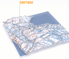 Places with similar names to Sartano, Italy ::
Disclaimer :: Information on this page comes without warranty of any kind |
||
|
Where is Sartano? Elevation and coordinates ::
Latitude (lat): 39°31'0"N Longitude (lon): 16°10'0"E
Elevation (approx.): 229m (map arrows pan, magnifying glasses zoom) |
||
|
Visiting Sartano? Hotel/Accommodation ::
Book a hotel in Sartano Travel Guide ::
Buy a travel guide for Italy rental cars ::
car rental offers GPS waypoint ::
download a GPX waypoint (PoI) of Sartano for your GPS receiver
|
||