|
search place name
|
||
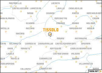
Tissolo (Italy)Tissolo is a town in Italy. An overview map of the region around Tissolo is displayed below.
regional and 3d topo map of Tissolo, Italy ::
Tissolo airports ::
The nearest airport is PMF - Parma, located 40.0 km north of Tissolo.
Other airports nearby include QPZ - Piacenza (70.2 km north west), BLQ - Bologna (75.0 km east), PSA - Pisa (87.0 km south), FLR - Firenze (100.0 km south east), Nearby towns ::
Vetto (2.3km north west) //
Rosano (3.2km south east) //
Casa di Rinaldo (3.9km south) //
Crovara (4.6km north east) //
Maiola (4.4km north east) //
Monteduro (5.7km south) //
Roncovetro (6.2km north east) //
Castelnovo neʼ Monti (5.4km south east) //
Cedogno (7.4km north) //
Ruzzano (5.6km west) //
Costa deʼ Grassi (7.9km south) //
Scurano (6.5km north west) //
Cerreggio (6.5km south west) //
Sasso (9.1km north west) //
[all distances 'as the bird flies' and approximate] 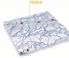 Places with similar names to Tissolo, Italy ::
Disclaimer :: Information on this page comes without warranty of any kind |
||
|
Where is Tissolo? Elevation and coordinates ::
Latitude (lat): 44°28'0"N Longitude (lon): 10°21'0"E
Elevation (approx.): 585m (map arrows pan, magnifying glasses zoom) |
||
|
Visiting Tissolo? Hotel/Accommodation ::
Book a hotel in Tissolo Travel Guide ::
Buy a travel guide for Italy rental cars ::
car rental offers GPS waypoint ::
download a GPX waypoint (PoI) of Tissolo for your GPS receiver
|
||