|
search place name
|
||
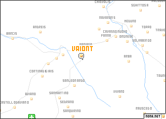
Vaiont (Italy)Vaiont is a town in Italy. An overview map of the region around Vaiont is displayed below.
regional and 3d topo map of Vaiont, Italy ::
Vaiont airports ::
The nearest airport is AVB - Aviano Ab (Pagliano E Gori), located 15.4 km south west of Vaiont.
Other airports nearby include TSF - Treviso (68.2 km south west), TRS - Ronchi De Legionari Ronchi Dei Legionari (69.7 km south east), VCE - Venice Venezia Tessera (76.6 km south), POW - Portoroz (103.5 km south east), Nearby towns ::
Maniago (2.4km north) //
Montereale Valcellina (3.3km west) //
Grizzo (4.2km west) //
San Leonardo (6.0km south) //
Fanna (5.7km north east) //
Frisanco (7.4km north) //
Cao Malnisio (5.6km west) //
Cavasso Nuovo (7.3km north east) //
Navarons (9.2km north east) //
San Martino (9.4km south west) //
Vivaro (10.1km south east) //
[all distances 'as the bird flies' and approximate] 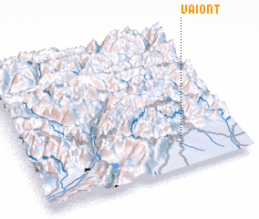 Places with similar names to Vaiont, Italy ::
Disclaimer :: Information on this page comes without warranty of any kind |
||
|
Where is Vaiont? Elevation and coordinates ::
Latitude (lat): 46°9'0"N Longitude (lon): 12°42'0"E
Elevation (approx.): 285m (map arrows pan, magnifying glasses zoom) |
||
|
Visiting Vaiont? Hotel/Accommodation ::
Book a hotel in Vaiont Travel Guide ::
Buy a travel guide for Italy rental cars ::
car rental offers GPS waypoint ::
download a GPX waypoint (PoI) of Vaiont for your GPS receiver
|
||