|
search place name
|
||
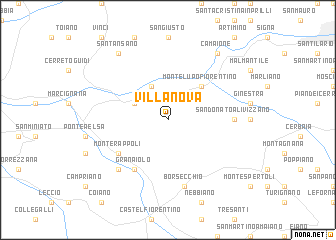
Villanova (Italy)Villanova is a town in Italy. An overview map of the region around Villanova is displayed below.
regional and 3d topo map of Villanova, Italy ::
Villanova airports ::
The nearest airport is FLR - Firenze, located 21.6 km north east of Villanova.
Other airports nearby include PSA - Pisa (47.6 km west), SAY - Siena Ampugnano (54.0 km south east), BLQ - Bologna (96.0 km north), FRL - Forli (103.1 km north east), Nearby towns ::
Limite (3.9km north) //
Empoli (3.3km north west) //
Ambrogiana (4.6km north east) //
Montelupo Fiorentino (4.6km north east) //
Monterappoli (5.5km south west) //
Granaiolo (6.2km south west) //
San Donato a Livizzano (5.4km east) //
Borsecchio (7.5km south) //
Fontanella (6.9km south west) //
Camaione (8.4km north east) //
SantʼAnsano (8.4km north west) //
[all distances 'as the bird flies' and approximate] 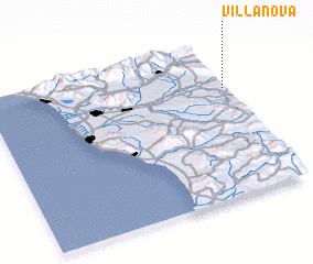 Places with similar names to Villanova, Italy ::
// Val'nëvo (RU)
// Villa Nueva (BO)
// Villa Nueva (BO)
// Villa Nueva (BO)
// Volynovo (RU)
// Vila Nova (PT)
// Vila Nova (PT)
// Vila Nova (PT)
// Vila Nova (PT)
// Vila Nova (PT)
Disclaimer :: Information on this page comes without warranty of any kind |
||
|
Where is Villanova? Elevation and coordinates ::
Latitude (lat): 43°42'0"N Longitude (lon): 10°59'0"E
Elevation (approx.): 54m (map arrows pan, magnifying glasses zoom) |
||
|
Visiting Villanova? Hotel/Accommodation ::
Book a hotel in Villanova Travel Guide ::
Buy a travel guide for Italy rental cars ::
car rental offers GPS waypoint ::
download a GPX waypoint (PoI) of Villanova for your GPS receiver
|
||