|
search place name
|
||
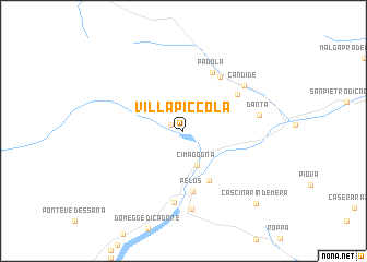
Villapiccola (Italy)Villapiccola is a town in Italy. An overview map of the region around Villapiccola is displayed below.
regional and 3d topo map of Villapiccola, Italy ::
Villapiccola airports ::
The nearest airport is AVB - Aviano Ab (Pagliano E Gori), located 58.7 km south of Villapiccola.
Other airports nearby include BZO - Bolzano (86.8 km west), TSF - Treviso (102.1 km south), TRS - Ronchi De Legionari Ronchi Dei Legionari (112.6 km south east), INN - Innsbruck (115.5 km north west), Nearby towns ::
Auronzo di Cadore (1.1km north west) //
Cima Gogna (3.6km south) //
Vigo di Cadore (5.4km south) //
Pelos (6.3km south) //
Padola (6.3km north) //
Casamazzagno (5.3km north east) //
Dosoledo (6.1km north east) //
Lozzo Cadore (7.4km south) //
Candide (6.3km north east) //
Danta (5.5km east) //
Lorenzago (8.0km south) //
Cascina Rin de Mera (9.0km south east) //
[all distances 'as the bird flies' and approximate] 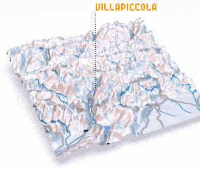 Places with similar names to Villapiccola, Italy ::
// Vallepiccola (IT)
Disclaimer :: Information on this page comes without warranty of any kind |
||
|
Where is Villapiccola? Elevation and coordinates ::
Latitude (lat): 46°33'0"N Longitude (lon): 12°27'0"E
Elevation (approx.): 904m (map arrows pan, magnifying glasses zoom) |
||
|
Visiting Villapiccola? Hotel/Accommodation ::
Book a hotel in Villapiccola Travel Guide ::
Buy a travel guide for Italy rental cars ::
car rental offers GPS waypoint ::
download a GPX waypoint (PoI) of Villapiccola for your GPS receiver
|
||